
Magnitude |
3.2 |
| Date & Time (UTC) | 2017-12-19 18:47:29.9 |
| Date & Time (Local) | 1396/9/28 22:17:29.9 |
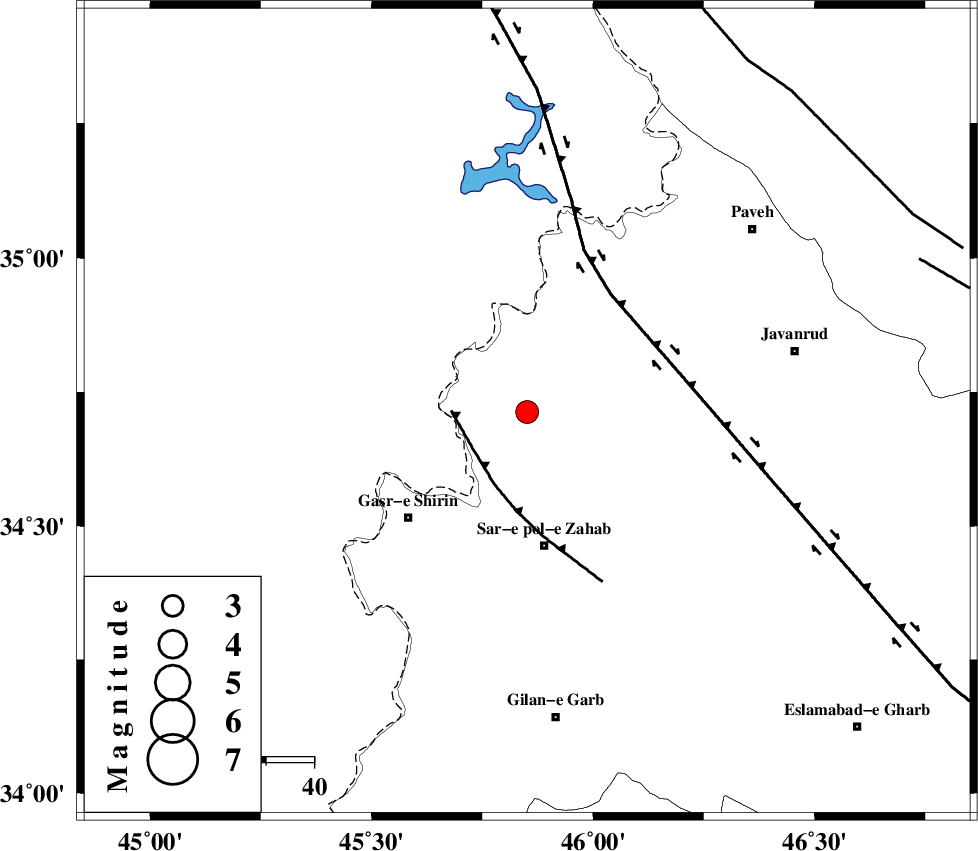
| Location | Lat:34.713 Lon: 45.851 |
| Region | Kermanshah Province, 6 km of Tazehabad |
Nearest Cities |
|
| 4 km North of Gardehnu, Kermanshah Province | |
| 6 km of Tazehabad, Kermanshah Province | |
| 11 km North of Bazmirabad, Kermanshah Province | |
| 13 km East of Tappeh rash, Kermanshah Province | |
| 18 km North of Mirmiru, Kermanshah Province | |
| Depth | 15 km |
| Agency | |
Faults within 150 km: |
|
| MFF8 (Length: 48 km) , Distance to epicenter: 13 km | |
| HZF4 (Length: 492 km) , Distance to epicenter: 30 km | |
| PIRANSHAHR_F (Length: 253 km) , Distance to epicenter: 86 km | |
| Number of Phases | 10 |
| RMS | 0.3 |
| Number of Stations | 10 |
| Error in Latitude | >3.3 km |
| Error in Longitude | 6 km |
| Error in Depth | 5 km |
Download waveform in seisan format
to download seisan software Click here
to access information about IIEES stations Click here
Amplitude | ||||||||
| UID | Agency | Station | Component | Amplitude | Period | Arrival Time | Proccessing Time | Signal Clip |
| 124917 | IIEES | ILBA | N | 602.9 | 0.27 | 2017-12-19 18:48:12 | 2017-12-20 06:04:00 | n |
| 124918 | IIEES | SNGE | N | 296.2 | 0.72 | 2017-12-19 18:48:17 | 2017-12-20 06:04:00 | n |
| 124919 | IIEES | GHVR | E | 17.7 | 0.59 | 2017-12-19 18:50:13 | 2017-12-20 06:04:00 | n |
Phase | ||||||||||||
| Agency | Station | Component | Phase Type | Phase Quality | First Motion | Observed Arrival Time | Time Residual | Loc. Flag | Input Weight | Distance | Azimuth | |
| IIEES | ILBA | Z | Pg | E | 2017-12-19 18:47:50 | -0.15 | y | 125 | 165 | |||
| IIEES | SNGE | Z | Pg | E | 2017-12-19 18:47:53 | -0.56 | y | 143 | 72 | |||
| IIEES | ZNJK | Z | Pn | E | 2017-12-19 18:48:19 | -0.06 | y | 336 | 49 | |||
| IIEES | ASAO | Z | Pn | E | 2017-12-19 18:48:25 | 0.54 | y | 383 | 92 | |||
| IIEES | KHMZ | Z | Pn | E | 2017-12-19 18:48:26 | 0.11 | y | 394 | 105 | |||
| IIEES | GIDE | Z | Pn | E | 2017-12-19 18:48:32 | 0.27 | y | 441 | 55 | |||
| IIEES | GRMI | Z | Pn | E | 2017-12-19 18:48:38 | 0.08 | y | 490 | 21 | |||
| IIEES | GHVR | Z | Pn | E | 2017-12-19 18:48:39 | 0.14 | y | 495 | 91 | |||
| IIEES | MAKU | Z | Pn | E | 2017-12-19 18:48:42 | -0.11 | y | 526 | 349 | |||
| IIEES | NASN | Z | Pn | E | 2017-12-19 18:49:02 | -0.09 | y | 678 | 106 | |||