
Magnitude |
2.9 |
| Date & Time (UTC) | 2018-07-24 07:53:01.1 |
| Date & Time (Local) | 1397/5/2 12:23:01.1 |
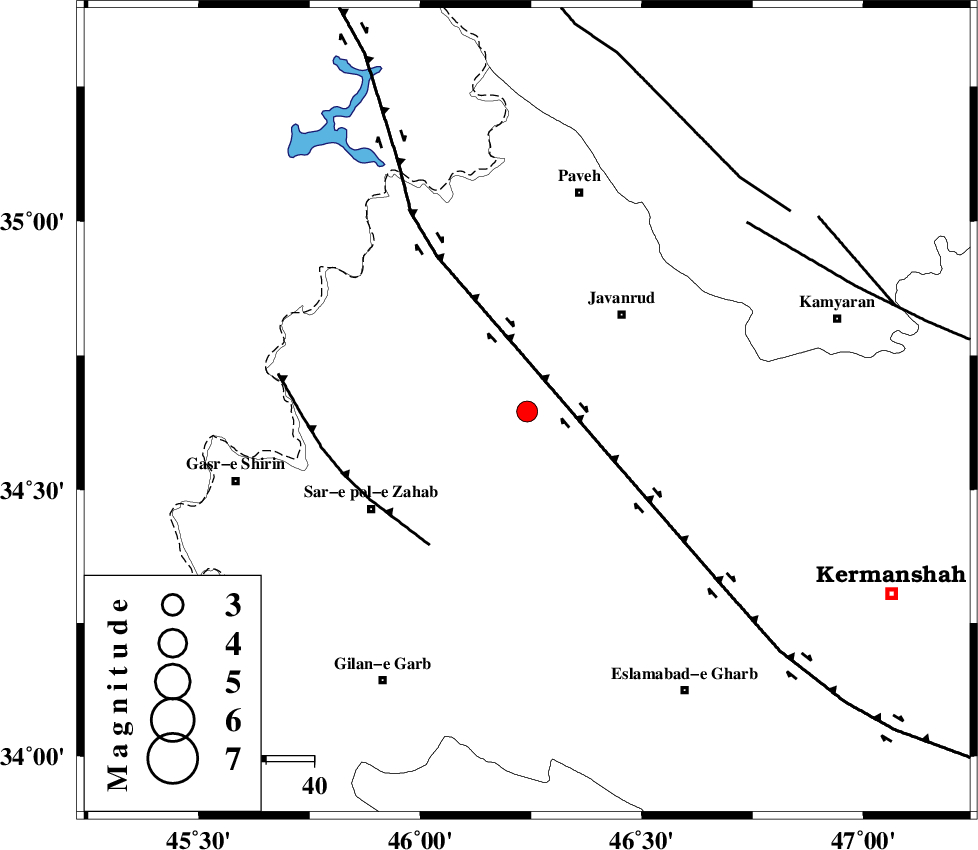
| Location | Lat:34.646 Lon: 46.241 |
| Region | Kermanshah Province, 28 km South-West of Javanrud |
Nearest Cities |
|
| 8 km of Mirabad, Kermanshah Province | |
| 11 km of Qolqoleh, Kermanshah Province | |
| 18 km North of Zavleh olia, Kermanshah Province | |
| 21 km West of Dolatabad, Kermanshah Province | |
| 22 km South of Shervineh, Kermanshah Province | |
| Depth | 6 km |
| Agency | |
Faults within 150 km: |
|
| HZF4 (Length: 492 km) , Distance to epicenter: 12 km | |
| MFF8 (Length: 48 km) , Distance to epicenter: 34 km | |
| SARTAKHT_F (Length: 78 km) , Distance to epicenter: 60 km | |
| Number of Phases | 7 |
| RMS | 0.2 |
| Number of Stations | 5 |
| Error in Latitude | >3 km |
| Error in Longitude | 5.7 km |
| Error in Depth | 4 km |
Download waveform in seisan format
to download seisan software Click here
to access information about IIEES stations Click here
Amplitude | ||||||||
| UID | Agency | Station | Component | Amplitude | Period | Arrival Time | Proccessing Time | Signal Clip |
| 135081 | IIEES | SNGE | N | 254.9 | 0.39 | 2018-07-24 07:53:38 | 2018-07-24 09:36:00 | n |
| 135082 | IIEES | ILBA | E | 447.2 | 0.32 | 2018-07-24 07:53:41 | 2018-07-24 09:36:00 | n |
| 135083 | IIEES | ILBA | N | 400.9 | 0.44 | 2018-07-24 07:53:42 | 2018-07-24 09:36:00 | n |
| 135084 | IIEES | ASAO | N | 14.9 | 0.55 | 2018-07-24 07:54:52 | 2018-07-24 09:36:00 | n |
| 135085 | IIEES | KHMZ | N | 17.3 | 0.45 | 2018-07-24 07:55:01 | 2018-07-24 09:36:00 | n |
Phase | ||||||||||||
| Agency | Station | Component | Phase Type | Phase Quality | First Motion | Observed Arrival Time | Time Residual | Loc. Flag | Input Weight | Distance | Azimuth | |
| IIEES | ILBA | Z | Pg | E | 2018-07-24 07:53:20 | -0.11 | y | 113 | 182 | |||
| IIEES | SNGE | Z | Pg | E | 2018-07-24 07:53:20 | -0.22 | y | 113 | 64 | |||
| IIEES | SNGE | N | Sg | E | 2018-07-24 07:53:35 | -0.09 | y | 113 | 64 | |||
| IIEES | ILBA | N | Sg | E | 2018-07-24 07:53:35 | -0.05 | y | 113 | 182 | |||
| IIEES | ZNJK | Z | Pn | E | 2018-07-24 07:53:49 | 0.03 | y | 315 | 44 | |||
| IIEES | ASAO | Z | Pn | E | 2018-07-24 07:53:53 | 0.34 | y | 347 | 91 | |||
| IIEES | KHMZ | Z | Pn | E | 2018-07-24 07:53:54 | 0.17 | y | 358 | 105 | |||