
Magnitude |
4 |
| Date & Time (UTC) | 2018-08-25 22:47:47.3 |
| Date & Time (Local) | 1397/6/4 03:17:47.3 |
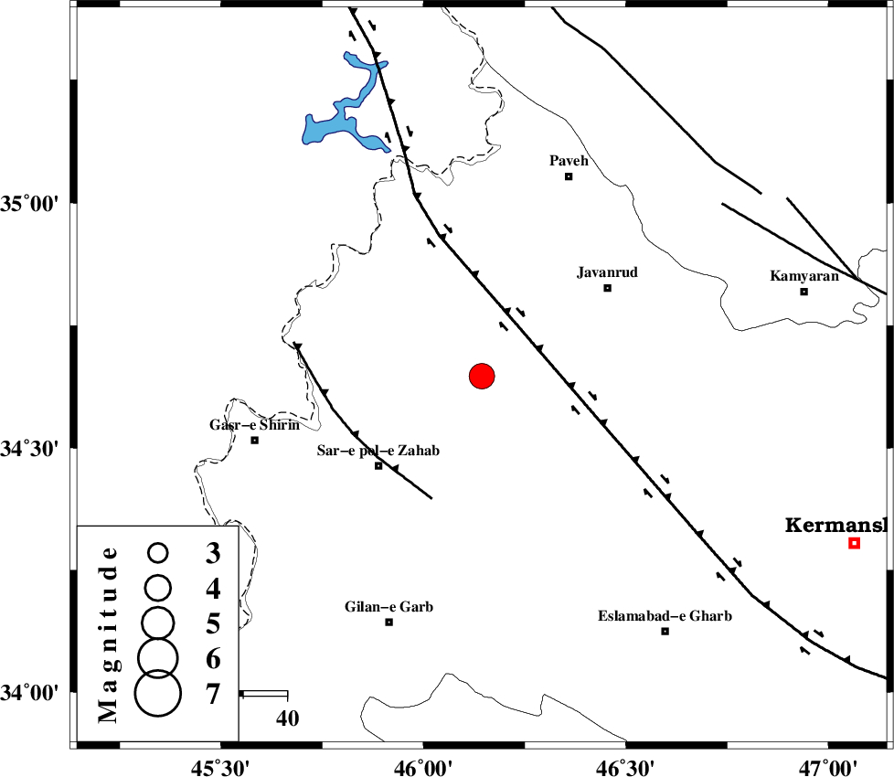
| Location | Lat:34.647 Lon: 46.144 |
| Region | Kermanshah Province, 31 km South-East of Tazehabad |
Nearest Cities |
|
| 9 km of Qolqoleh, Kermanshah Province | |
| 16 km West of Mirabad, Kermanshah Province | |
| 21 km North East of Bazmirabad, Kermanshah Province | |
| 23 km North West of Zavleh olia, Kermanshah Province | |
| 24 km North of Rijab, Kermanshah Province | |
| Depth | 6 km |
| Agency | |
Faults within 150 km: |
|
| HZF4 (Length: 492 km) , Distance to epicenter: 14 km | |
| MFF8 (Length: 48 km) , Distance to epicenter: 30 km | |
| SARTAKHT_F (Length: 78 km) , Distance to epicenter: 67 km | |
| Number of Phases | 7 |
| RMS | 0.4 |
| Number of Stations | 5 |
| Error in Latitude | >3.1 km |
| Error in Longitude | 4.1 km |
| Error in Depth | 8.4 km |
Download waveform in seisan format
to download seisan software Click here
to access information about IIEES stations Click here
Amplitude | ||||||||
| UID | Agency | Station | Component | Amplitude | Period | Arrival Time | Proccessing Time | Signal Clip |
| 136020 | IIEES | SRSL | N | 1595.3 | 0.42 | 2018-08-25 22:48:48 | 2018-08-26 04:12:00 | n |
| 136021 | IIEES | SRSL | E | 1475 | 0.34 | 2018-08-25 22:48:51 | 2018-08-26 04:12:00 | n |
Phase | ||||||||||||
| Agency | Station | Component | Phase Type | Phase Quality | First Motion | Observed Arrival Time | Time Residual | Loc. Flag | Input Weight | Distance | Azimuth | |
| IIEES | ILBA | Z | Pg | E | 2018-08-25 22:48:06 | -0.32 | y | 114 | 177 | |||
| IIEES | SNGE | Z | Pg | E | 2018-08-25 22:48:08 | -0.15 | y | 121 | 65 | |||
| IIEES | SNGE | N | Sg | E | 2018-08-25 22:48:23 | -0.32 | y | 121 | 65 | |||
| IIEES | SRSL | Z | Pg | E | 2018-08-25 22:48:19 | -0.27 | y | 185 | 340 | |||
| IIEES | SRSL | N | Sg | E | 2018-08-25 22:48:42 | 0.16 | y | 185 | 340 | |||
| IIEES | ASAO | Z | Pn | E | 2018-08-25 22:48:41 | 0.89 | y | 356 | 91 | |||
| IIEES | KHMZ | Z | Pn | E | 2018-08-25 22:48:41 | 0.18 | y | 366 | 105 | |||