
Magnitude |
2.5 |
| Date & Time (UTC) | 2018-12-28 21:31:46.4 |
| Date & Time (Local) | 1397/10/8 01:01:46.4 |
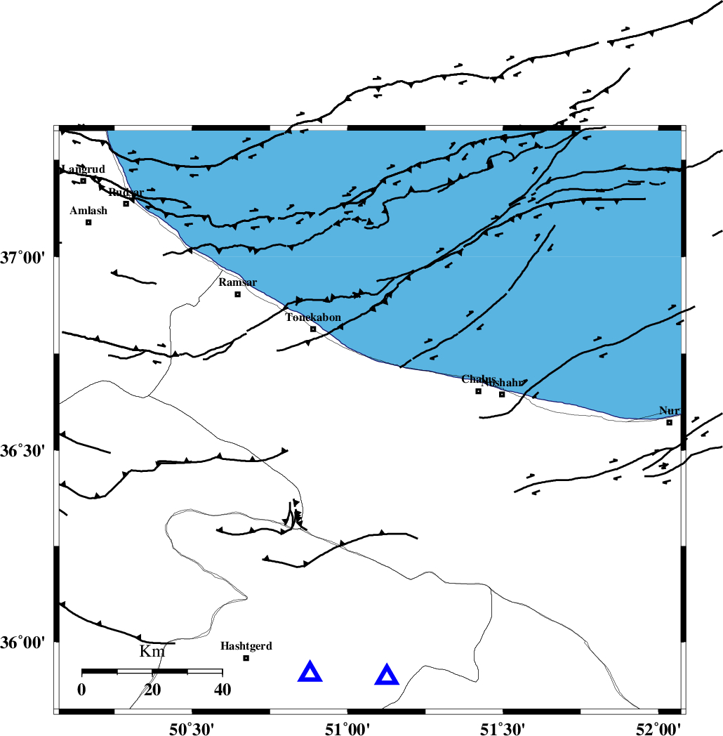
| Location | Lat:36.575 Lon: 51.072 |
| Region | Mazandaran Province, 31 km South-East of Tonekabon |
Nearest Cities |
|
| 15 km North West of Kardichal, Mazandaran Province | |
| 17 km South of Abbasabad, Mazandaran Province | |
| 19 km South West of Tazehabad, Mazandaran Province | |
| 19 km South of Kanza, Mazandaran Province | |
| 19 km North West of Goyter, Mazandaran Province | |
| Depth | 15 km |
| Agency | |
Faults within 150 km: |
|
| N_ALBORZ_F (Length: 360 km) , Distance to epicenter: 9 km | |
| KHAZAR_F (Length: 523 km) , Distance to epicenter: 14 km | |
| BONAN_F (Length: 74 km) , Distance to epicenter: 26 km | |
| Number of Phases | 11 |
| RMS | 0.6 |
| Number of Stations | 9 |
| Error in Latitude | >5.3 km |
| Error in Longitude | 6 km |
| Error in Depth | 7.7 km |
Download waveform in seisan format
to download seisan software Click here
to access information about IIEES stations Click here
Amplitude | ||||||||
| UID | Agency | Station | Component | Amplitude | Period | Arrival Time | Proccessing Time | Signal Clip |
| 139675 | IIEES | THKV | N | 250.7 | 0.24 | 2018-12-28 21:32:09 | 2018-12-30 07:11:00 | n |
Phase | ||||||||||||
| Agency | Station | Component | Phase Type | Phase Quality | First Motion | Observed Arrival Time | Time Residual | Loc. Flag | Input Weight | Distance | Azimuth | |
| IIEES | CHTH | Z | Pg | E | 2018-12-28 21:31:58 | -0.94 | y | 74.2 | 176 | |||
| IIEES | THKV | Z | Pg | E | 2018-12-28 21:31:58 | -0.57 | y | 75.2 | 193 | |||
| IIEES | THKV | N | Sg | E | 2018-12-28 21:32:08 | -0.24 | y | 75.2 | 193 | |||
| IIEES | GIDE | Z | Pg | E | 2018-12-28 21:32:05 | 0.23 | y | 111 | 291 | |||
| IIEES | DAMV | Z | Pg | E | 2018-12-28 21:32:09 | 0.59 | y | 132 | 142 | |||
| IIEES | ZNJK | Z | Pn | E | 2018-12-28 21:32:20 | 0.22 | y | 214 | 274 | |||
| IIEES | ZNJK | N | Sg | E | 2018-12-28 21:32:46 | -0.32 | y | 214 | 274 | |||
| IIEES | GHVR | Z | Pn | E | 2018-12-28 21:32:23 | 0.99 | y | 233 | 176 | |||
| IIEES | ASAO | Z | Pn | E | 2018-12-28 21:32:24 | 0.29 | y | 244 | 203 | |||
| IIEES | KHMZ | Z | Pn | E | 2018-12-28 21:32:35 | 0.54 | y | 330 | 198 | |||
| IIEES | MRVT | Z | Pn | E | 2018-12-28 21:32:50 | -1.01 | y | 462 | 73 | |||