
Magnitude |
2.5 |
| Date & Time (UTC) | 2019-12-10 08:40:14.2 |
| Date & Time (Local) | 1398/9/19 12:10:14.2 |
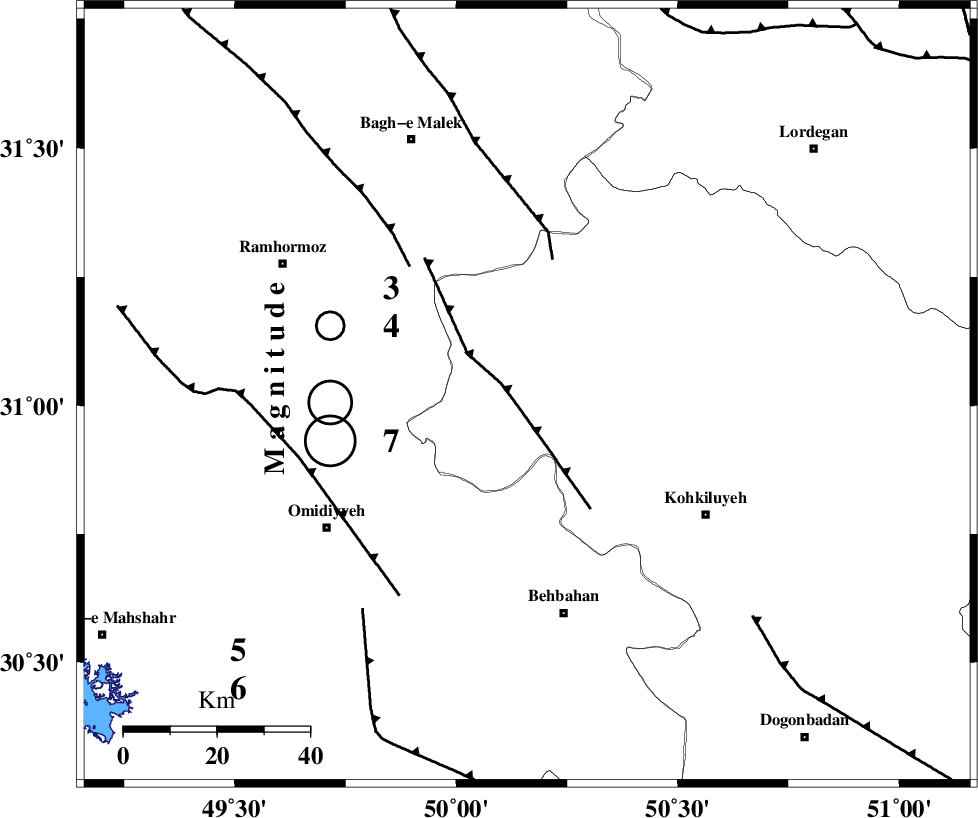
| Location | Lat:31.02 Lon: 50.16 |
| Region | Kohkiluieh va boyerahmad Province, 48 km North of Behbahan |
Nearest Cities |
|
| 26 km North West of Lendeh, Kohkiluieh va boyerahmad Province | |
| 32 km South West of Esfandan, Kohkiluieh va boyerahmad Province | |
| 33 km South West of Qale-ye raiesi, Kohkiluieh va boyerahmad Province | |
| 34 km North East of Jolaki, Khoozestan Province | |
| 34 km North East of Jayzan, Khoozestan Province | |
| Depth | 14 km |
| Agency | |
Faults within 150 km: |
|
| MFF4 (Length: 62 km) , Distance to epicenter: 3 km | |
| MFF2 (Length: 205 km) , Distance to epicenter: 30 km | |
| DEZFUL_EMBAYMENT (Length: 228 km) , Distance to epicenter: 38 km | |
| Number of Phases | 5 |
| RMS | 0.5 |
| Number of Stations | 5 |
| Error in Latitude | >6 km |
| Error in Longitude | 0 km |
| Error in Depth | 11 km |
Download waveform in seisan format
to download seisan software Click here
to access information about IIEES stations Click here
Amplitude | ||||||||
| UID | Agency | Station | Component | Amplitude | Period | Arrival Time | Proccessing Time | Signal Clip |
| 149619 | IIEES SC | KLNJ | Z | 120 | 1 | 2019-12-10 08:41:00 | 2019-12-11 02:59:00 | n |
| 149620 | IIEES SC | GTMR | Z | 73 | 1 | 2019-12-10 08:41:11 | 2019-12-11 02:59:00 | n |
| 149621 | IIEES SC | NASN | Z | 5.2 | 1 | 2019-12-10 08:41:54 | 2019-12-11 02:59:00 | n |
Phase | ||||||||||||
| Agency | Station | Component | Phase Type | Phase Quality | First Motion | Observed Arrival Time | Time Residual | Loc. Flag | Input Weight | Distance | Azimuth | |
| IIEES SC | KLNJ | N | IS | I | 2019-12-10 08:40:54 | 0.4 | y | 133 | 91 | |||
| IIEES SC | KLNJ | Z | IP | I | 2019-12-10 08:40:37 | 0.3 | y | 133 | 91 | |||
| IIEES SC | GTMR | N | IS | I | 2019-12-10 08:41:08 | 0.3 | y | 189 | 328 | |||
| IIEES SC | GTMR | Z | IP | I | 2019-12-10 08:40:44 | -0.2 | y | 189 | 328 | |||
| IIEES SC | NASN | Z | IP | I | 2019-12-10 08:41:00 | -1.2 | y | 322 | 52 | |||