
Magnitude |
3.2 |
| Date & Time (UTC) | 2009-02-12 10:49:31.2 |
| Date & Time (Local) | 1387/11/24 14:19:31.2 |
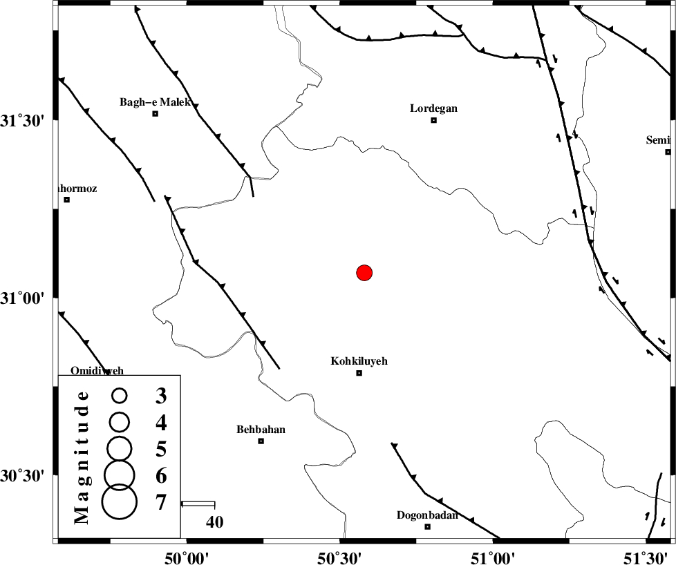
| Location | Lat:31.07 Lon: 50.58 |
| Region | 31 km North of Dehdasht, Kohkiluieh va boyerahmad Province |
Nearest Cities |
|
| 18 km North East of Lendeh, Kohkiluieh va boyerahmad Province | |
| 19 km South East of Qale-ye raiesi, Kohkiluieh va boyerahmad Province | |
| 24 km South of Pataveh, Kohkiluieh va boyerahmad Province | |
| 26 km North West of Savari, Kohkiluieh va boyerahmad Province | |
| 30 km South East of Dishmuk, Kohkiluieh va boyerahmad Province | |
| Depth | 16 km |
| Agency | |
Faults within 150 km: |
|
| MFF4 (Length: 62 km) , Distance to epicenter: 40 km | |
| MFF2 (Length: 205 km) , Distance to epicenter: 42 km | |
| MISHAN_F (Length: 76 km) , Distance to epicenter: 54 km | |
| Number of Phases | 6 |
| RMS | 0 |
| Number of Stations | 5 |
| Error in Latitude | >8.4 km |
| Error in Longitude | 4.3 km |
| Error in Depth | 6.3 km |
Download waveform in seisan format
to download seisan software Click here
to access information about IIEES stations Click here
Amplitude | ||||||||
| UID | Agency | Station | Component | Amplitude | Period | Arrival Time | Proccessing Time | Signal Clip |
| 51932 | IIEES | SHGR | N | 222 | 0.74 | 2009-02-12 10:50:40 | 2009-06-27 08:52:00 | n |
| 51933 | IIEES | SHGR | E | 176.9 | 0.49 | 2009-02-12 10:50:42 | 2009-06-27 08:52:00 | n |
| 51934 | IIEES | SNGE | E | 15 | 0.48 | 2009-02-12 10:51:46 | 2009-06-27 08:52:00 | n |
Phase | ||||||||||||
| Agency | Station | Component | Phase Type | Phase Quality | First Motion | Observed Arrival Time | Time Residual | Loc. Flag | Input Weight | Distance | Azimuth | |
| IIEES | SHGR | Z | Pg | E | 2009-02-12 10:50:04 | 0 | y | 204 | 305 | |||
| IIEES | SHGR | N | Sg | E | 2009-02-12 10:50:29 | 0 | y | 204 | 305 | |||
| IIEES | NASN | Z | Pn | E | 2009-02-12 10:50:14 | 0 | y | 285 | 47 | |||
| IIEES | KHMZ | Z | Pn | E | 2009-02-12 10:50:16 | 0 | y | 302 | 349 | |||
| IIEES | ASAO | Z | Pn | E | 2009-02-12 10:50:27 | 0 | y | 389 | 352 | |||
| IIEES | SNGE | Z | Pn | E | 2009-02-12 10:50:45 | 0 | y | 539 | 327 | |||