
Magnitude |
4.3 |
| Date & Time (UTC) | 2010-06-06 17:49:00.2 |
| Date & Time (Local) | 1389/3/16 22:19:00.2 |
| Location | Lat:28.49 Lon: 56.8 |
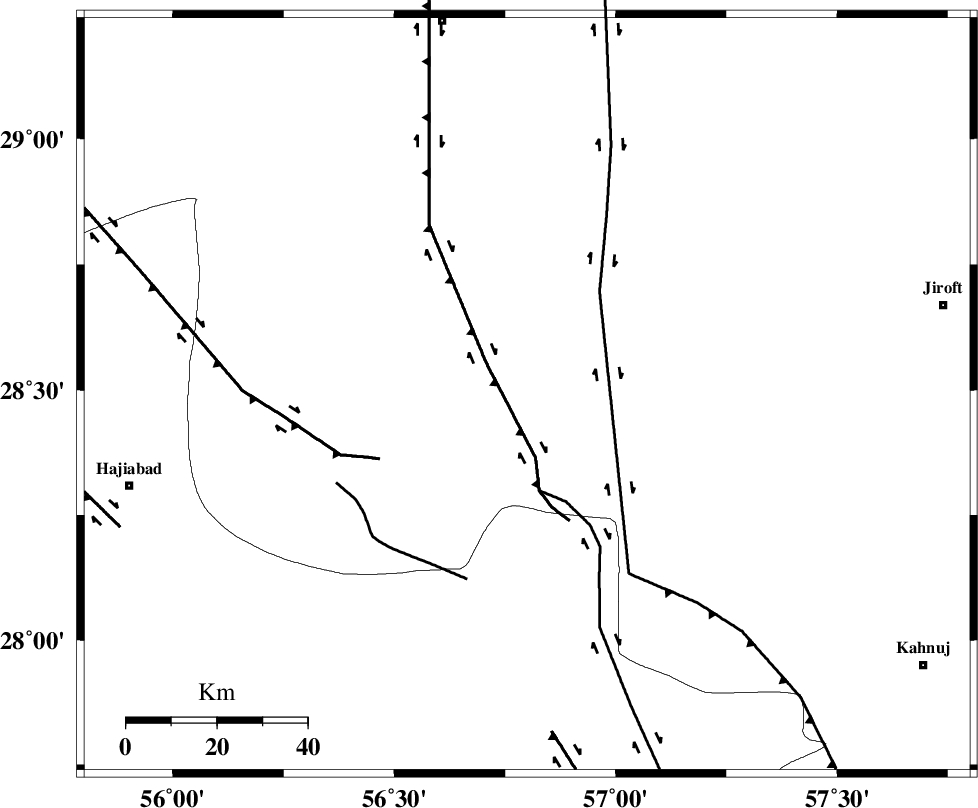
| Region | Kerman Province, 85 km South-East of Baft |
Nearest Cities |
|
| 18 km North of Sarkhan, Kerman Province | |
| 37 km South West of Dolatabad, Kerman Province | |
| 41 km North East of Shahmaran, Kerman Province | |
| 43 km North East of Arzuieeh, Kerman Province | |
| 55 km South East of Kashkueyeh, Kerman Province | |
| Depth | 46 km |
| Agency | |
Faults within 150 km: |
|
| MAIN_ZAGROS_R_F (Length: 1106 km) , Distance to epicenter: 45 km | |
| HZF2 (Length: 437 km) , Distance to epicenter: 87 km | |
| SABZEVARAN_F (Length: 190 km) , Distance to epicenter: 91 km | |
| Number of Phases | 7 |
| RMS | 0.1 |
| Number of Stations | 6 |
| Error in Latitude | >3.4 km |
| Error in Longitude | 1.9 km |
| Error in Depth | 5 km |
Download waveform in seisan format
to download seisan software Click here
to access information about IIEES stations Click here
Amplitude | ||||||||
| UID | Agency | Station | Component | Amplitude | Period | Arrival Time | Proccessing Time | Signal Clip |
| 63630 | IIEES | KRBR | N | 5058.3 | 0.48 | 2010-06-06 17:49:54 | 2010-06-06 06:10:00 | n |
| 63631 | IIEES | KRBR | E | 4316.2 | 0.44 | 2010-06-06 17:49:59 | 2010-06-06 06:10:00 | n |
| 63632 | IIEES | GHIR | N | 316.3 | 0.48 | 2010-06-06 17:51:03 | 2010-06-06 06:10:00 | n |
| 63633 | IIEES | TABS | N | 165.3 | 0.72 | 2010-06-06 17:52:04 | 2010-06-06 06:10:00 | n |
Phase | ||||||||||||
| Agency | Station | Component | Phase Type | Phase Quality | First Motion | Observed Arrival Time | Time Residual | Loc. Flag | Input Weight | Distance | Azimuth | |
| IIEES | KRBR | Z | Pn | E | 2010-06-06 17:49:25 | 0 | y | 166 | 359 | |||
| IIEES | KRBR | E | Sg | E | 2010-06-06 17:49:48 | 0.1 | y | 166 | 359 | |||
| IIEES | GHIR | Z | Pn | E | 2010-06-06 17:49:51 | 0 | y | 375 | 268 | |||
| IIEES | ZHSF | Z | P | E | 2010-06-06 17:49:55 | 0 | y | 406 | 71 | |||
| IIEES | NASN | Z | Pn | E | 2010-06-06 17:50:21 | 0.1 | y | 613 | 322 | |||
| IIEES | NASN | N | Sg | E | 2010-06-06 17:51:46 | -0.1 | y | 613 | 322 | |||
| IIEES | KHMZ | Z | Pn | E | 2010-06-06 17:50:53 | 0 | y | 874 | 313 | |||