
Magnitude |
3 |
| Date & Time (UTC) | 2010-08-24 12:37:15.0 |
| Date & Time (Local) | 1389/6/2 17:07:15.0 |
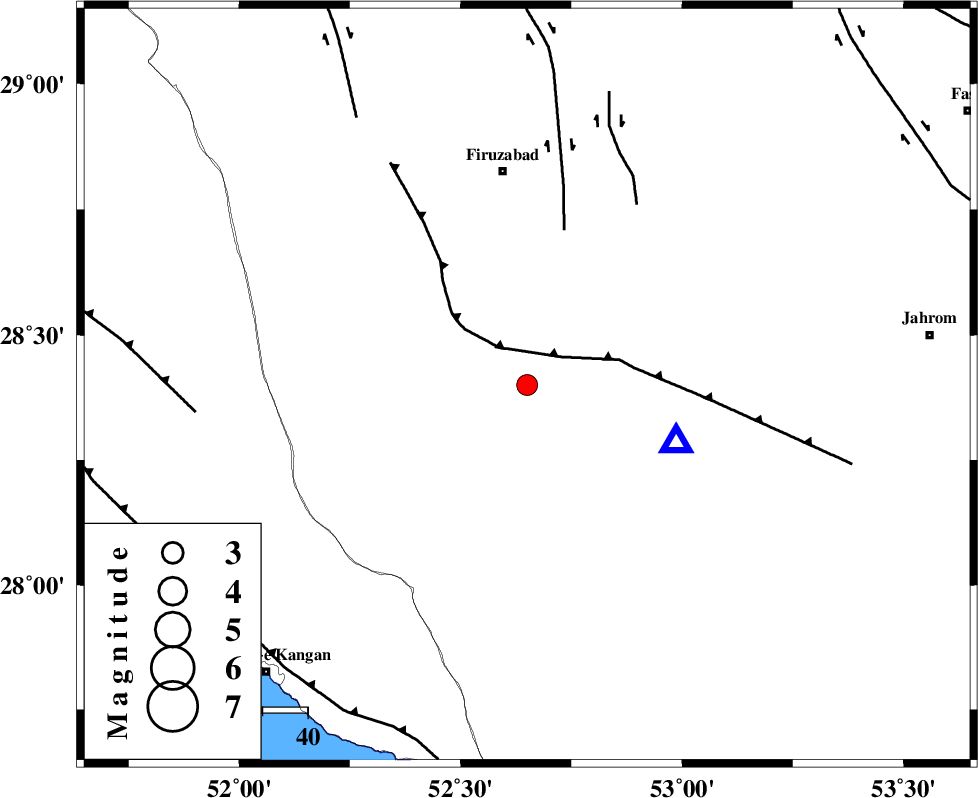
| Location | Lat:28.4 Lon: 52.65 |
| Region | Fars Province, 38 km West of Qir va Karzin |
Nearest Cities |
|
| 4 km North of Hengam, Fars Province | |
| 35 km East of Dahrom, Fars Province | |
| 38 km West of Qir va Karzin, Fars Province | |
| 40 km South of Jaydasht, Fars Province | |
| 42 km West of Shahrak-e jonubi, Fars Province | |
| Depth | 15 km |
| Agency | |
Faults within 150 km: |
|
| QIR_F (Length: 130 km) , Distance to epicenter: 10 km | |
| SABZ_PUSHAN_F_Z1 (Length: 69 km) , Distance to epicenter: 35 km | |
| SABZ_PUSHAN_F_Z2 (Length: 24 km) , Distance to epicenter: 47 km | |
| Number of Phases | 3 |
| RMS | 0 |
| Number of Stations | 3 |
| Error in Latitude | >4.6 km |
| Error in Longitude | 2.1 km |
| Error in Depth | 0 km |
Download waveform in seisan format
to download seisan software Click here
to access information about IIEES stations Click here
Amplitude | ||||||||
| UID | Agency | Station | Component | Amplitude | Period | Arrival Time | Proccessing Time | Signal Clip |
| 69554 | IIEES | GHIR | N | 2854.3 | 0.15 | 2010-08-24 12:37:30 | 2010-08-29 12:45:00 | n |
| 69555 | IIEES | GHIR | E | 2464.6 | 0.54 | 2010-08-24 12:37:32 | 2010-08-29 12:45:00 | n |
| 69556 | IIEES | KRBR | N | 7.6 | 0.24 | 2010-08-24 12:39:17 | 2010-08-29 12:45:00 | n |
Phase | ||||||||||||
| Agency | Station | Component | Phase Type | Phase Quality | First Motion | Observed Arrival Time | Time Residual | Loc. Flag | Input Weight | Distance | Azimuth | |
| IIEES | GHIR | Z | Pg | E | 2010-08-24 12:37:21 | 0 | y | 34.8 | 110 | |||
| IIEES | AHRM | Z | Pg | E | 2010-08-24 12:37:38 | 0 | y | 143 | 292 | |||
| IIEES | KRBR | Z | Pn | E | 2010-08-24 12:38:17 | 0 | y | 436 | 65 | |||