
Magnitude |
2.6 |
| Date & Time (UTC) | 2013-03-21 17:01:22.2 |
| Date & Time (Local) | 1392/1/1 20:31:22.2 |
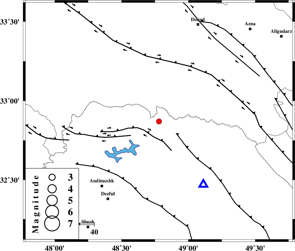
| Location | Lat:32.87 Lon: 48.78 |
| Region | Khoozestan Province, 61 km North-West of Lali |
Nearest Cities |
|
| 9 km North of Shuy, Khoozestan Province | |
| 24 km South West of Bargsar, Lorestan Province | |
| 35 km South of Chamsangar, Lorestan Province | |
| 41 km North of Sardasht, Khoozestan Province | |
| 44 km North East of Sorkhakan, Khoozestan Province | |
| Depth | 14 km |
| Agency | |
Faults within 150 km: |
|
| BALARUD_F_Z2 (Length: 58 km) , Distance to epicenter: 11 km | |
| MFF2 (Length: 205 km) , Distance to epicenter: 15 km | |
| BALARUD_F_Z3 (Length: 53 km) , Distance to epicenter: 22 km | |
| Number of Phases | 4 |
| RMS | 0 |
| Number of Stations | 4 |
| Error in Latitude | >2.1 km |
| Error in Longitude | 3.5 km |
| Error in Depth | 4.8 km |
Download waveform in seisan format
to download seisan software Click here
to access information about IIEES stations Click here
Amplitude | ||||||||
| UID | Agency | Station | Component | Amplitude | Period | Arrival Time | Proccessing Time | Signal Clip |
| 88279 | IIEES | SNGE | N | 38.6 | 0.64 | 2013-03-21 17:02:36 | 2013-03-21 05:25:00 | n |
| 88280 | IIEES | SNGE | E | 33.5 | 0.44 | 2013-03-21 17:02:36 | 2013-03-21 05:25:00 | n |
| 88281 | IIEES | GHVR | E | 16.7 | 0.48 | 2013-03-21 17:02:46 | 2013-03-21 05:25:00 | n |
Phase | ||||||||||||
| Agency | Station | Component | Phase Type | Phase Quality | First Motion | Observed Arrival Time | Time Residual | Loc. Flag | Input Weight | Distance | Azimuth | |
| IIEES | SHGR | Z | Pg | E | 2013-03-21 17:01:36 | 0 | y | 84.3 | 179 | |||
| IIEES | KHMZ | Z | Pg | E | 2013-03-21 17:01:46 | -0.03 | y | 146 | 48 | |||
| IIEES | SNGE | Z | Pn | E | 2013-03-21 17:02:04 | 0 | y | 280 | 332 | |||
| IIEES | GHVR | Z | Pn | E | 2013-03-21 17:02:06 | 0.04 | y | 290 | 51 | |||