
Magnitude |
2.3 |
| Date & Time (UTC) | 2013-03-27 12:14:42.4 |
| Date & Time (Local) | 1392/1/7 16:44:42.4 |
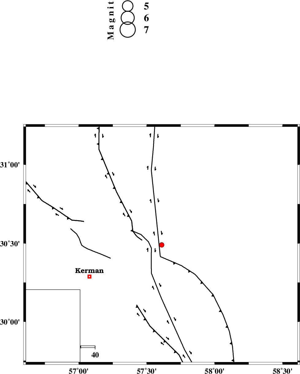
| Location | Lat:30.49 Lon: 57.61 |
| Region | Kerman Province, 56 km North-East of Kerman |
Nearest Cities |
|
| 12 km North of Shahdad, Kerman Province | |
| 24 km North West of Estehkam, Kerman Province | |
| 32 km East of Dehlulu, Kerman Province | |
| 33 km North of Sirch, Kerman Province | |
| 42 km North of Jushan, Kerman Province | |
| Depth | 14 km |
| Agency | |
Faults within 150 km: |
|
| GOLBAF_SIRCH_F (Length: 114 km) , Distance to epicenter: 8 km | |
| SHAHDAD_F (Length: 108 km) , Distance to epicenter: 8 km | |
| NAYBAND_F (Length: 258 km) , Distance to epicenter: 8 km | |
| Number of Phases | 4 |
| RMS | 0 |
| Number of Stations | 3 |
| Error in Latitude | >3.7 km |
| Error in Longitude | 3.6 km |
| Error in Depth | 3.9 km |
Download waveform in seisan format
to download seisan software Click here
to access information about IIEES stations Click here
Amplitude | ||||||||
| UID | Agency | Station | Component | Amplitude | Period | Arrival Time | Proccessing Time | Signal Clip |
| 88332 | IIEES | BSRN | N | 24.9 | 0.16 | 2013-03-27 12:15:46 | 2013-03-27 11:56:00 | n |
| 88333 | IIEES | BSRN | E | 25 | 0.24 | 2013-03-27 12:15:46 | 2013-03-27 11:56:00 | n |
Phase | ||||||||||||
| Agency | Station | Component | Phase Type | Phase Quality | First Motion | Observed Arrival Time | Time Residual | Loc. Flag | Input Weight | Distance | Azimuth | |
| IIEES | KRBR | Z | Pg | E | 2013-03-27 12:14:59 | -0.01 | y | 99.2 | 236 | |||
| IIEES | BSRN | Z | Pn | E | 2013-03-27 12:15:17 | 0.03 | y | 218 | 41 | |||
| IIEES | BSRN | N | Sg | E | 2013-03-27 12:15:44 | -0.02 | y | 218 | 41 | |||
| IIEES | YZKH | Z | Pn | E | 2013-03-27 12:15:34 | 0 | y | 356 | 307 | |||