
Magnitude |
1.8 |
| Date & Time (UTC) | 2013-09-03 14:56:08.9 |
| Date & Time (Local) | 1392/6/12 19:26:08.9 |
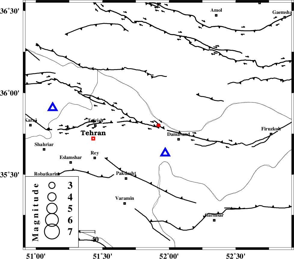
| Location | Lat:35.8 Lon: 51.92 |
| Region | Tehran Province, 17 km West of Damavand |
Nearest Cities |
|
| 8 km North of Bumehen, Tehran Province | |
| 8 km North of Rudehen, Tehran Province | |
| 9 km North of Abali, Tehran Province | |
| 17 km North West of Damavand, Tehran Province | |
| 17 km East of Lavasan, Tehran Province | |
| Depth | 18 km |
| Agency | |
Faults within 150 km: |
|
| MOSHA_F (Length: 234 km) , Distance to epicenter: 8 km | |
| N_TEHRAN_F4 (Length: 115 km) , Distance to epicenter: 13 km | |
| KANDOVAN_F (Length: 90 km) , Distance to epicenter: 39 km | |
| Number of Phases | 4 |
| RMS | 0.1 |
| Number of Stations | 3 |
| Error in Latitude | >2.4 km |
| Error in Longitude | 7.7 km |
| Error in Depth | 10 km |
Download waveform in seisan format
to download seisan software Click here
to access information about IIEES stations Click here
Amplitude | ||||||||
| UID | Agency | Station | Component | Amplitude | Period | Arrival Time | Proccessing Time | Signal Clip |
| 90441 | IIEES | DAMV | E | 999.4 | 0.2 | 2013-09-03 14:56:15 | 2013-09-03 04:34:00 | n |
| 90442 | IIEES | CHTH | E | 11.7 | 0.52 | 2013-09-03 14:56:38 | 2013-09-03 04:34:00 | n |
| 90443 | IIEES | GHVR | N | 9.5 | 0.24 | 2013-09-03 14:56:55 | 2013-09-03 04:34:00 | n |
| 90444 | IIEES | GHVR | E | 12.5 | 0.64 | 2013-09-03 14:57:00 | 2013-09-03 04:34:00 | n |
Phase | ||||||||||||
| Agency | Station | Component | Phase Type | Phase Quality | First Motion | Observed Arrival Time | Time Residual | Loc. Flag | Input Weight | Distance | Azimuth | |
| IIEES | DAMV | Z | Pg | E | 2013-09-03 14:56:13 | 0.02 | y | 19.1 | 165 | |||
| IIEES | CHTH | Z | Pg | E | 2013-09-03 14:56:21 | 0.03 | y | 72.4 | 280 | |||
| IIEES | GHVR | Z | Pg | E | 2013-09-03 14:56:35 | -0.11 | y | 158 | 203 | |||
| IIEES | GHVR | N | Sg | E | 2013-09-03 14:56:54 | 0.07 | y | 158 | 203 | |||