
Magnitude |
2.8 |
| Date & Time (UTC) | 2013-10-14 03:07:36.7 |
| Date & Time (Local) | 1392/7/22 06:37:36.7 |
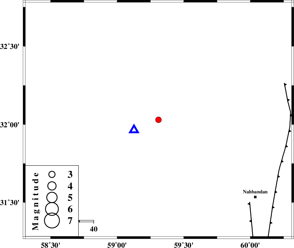
| Location | Lat:32.03 Lon: 59.31 |
| Region | Khorasan(south) Province, 97 km South of Birjand |
Nearest Cities |
|
| 49 km South of Mokhtaran, Khorasan(south) Province | |
| 58 km North West of Shusef, Khorasan(south) Province | |
| 58 km South West of Kalateh soleyman, Khorasan(south) Province | |
| 63 km South of Gaz, Khorasan(south) Province | |
| 66 km South East of Hamand, Khorasan(south) Province | |
| Depth | 17 km |
| Agency | |
Faults within 150 km: |
|
| W_NEH_F (Length: 158 km) , Distance to epicenter: 87 km | |
| E_NEH_F (Length: 148 km) , Distance to epicenter: 92 km | |
| MOHAMMADABAD_F (Length: 71 km) , Distance to epicenter: 103 km | |
| Number of Phases | 6 |
| RMS | 0 |
| Number of Stations | 4 |
| Error in Latitude | >1.9 km |
| Error in Longitude | 5.7 km |
| Error in Depth | 2.1 km |
Download waveform in seisan format
to download seisan software Click here
to access information about IIEES stations Click here
Amplitude | ||||||||
| UID | Agency | Station | Component | Amplitude | Period | Arrival Time | Proccessing Time | Signal Clip |
| 90784 | IIEES | BSRN | E | 1779.2 | 0.12 | 2013-10-14 03:07:44 | 2013-10-14 04:38:00 | n |
| 90785 | IIEES | BSRN | N | 2307.9 | 0.2 | 2013-10-14 03:07:45 | 2013-10-14 04:38:00 | n |
Phase | ||||||||||||
| Agency | Station | Component | Phase Type | Phase Quality | First Motion | Observed Arrival Time | Time Residual | Loc. Flag | Input Weight | Distance | Azimuth | |
| IIEES | BSRN | Z | Pg | E | 2013-10-14 03:07:41 | -0.01 | y | 19.2 | 248 | |||
| IIEES | BSRN | N | Sg | E | 2013-10-14 03:07:44 | 0 | y | 19.2 | 248 | |||
| IIEES | TABS | Z | P | E | 2013-10-14 03:08:18 | 0.01 | y | 273 | 312 | |||
| IIEES | TABS | E | Sg | E | 2013-10-14 03:08:53 | 0.02 | y | 273 | 312 | |||
| IIEES | KRBR | Z | Pn | E | 2013-10-14 03:08:25 | 0.06 | y | 333 | 228 | |||
| IIEES | YZKH | Z | Pn | E | 2013-10-14 03:08:39 | -0.1 | y | 447 | 276 | |||