
Magnitude |
3 |
| Date & Time (UTC) | 2015-02-22 05:56:55.1 |
| Date & Time (Local) | 1393/12/3 09:26:55.1 |
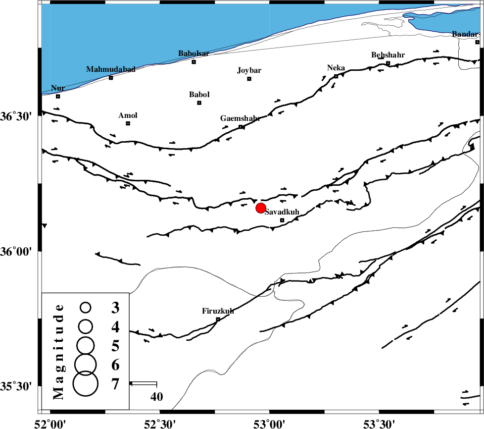
| Location | Lat:36.16 Lon: 52.96 |
| Region | Mazandaran Province, 11 km West of Pol-E-Sefid |
Nearest Cities |
|
| 2 km of Zirab, Mazandaran Province | |
| 8 km North of Elahband, Mazandaran Province | |
| 10 km of Utu, Mazandaran Province | |
| 10 km North of Pol-E-Sefid, Mazandaran Province | |
| 11 km North of Shurmast-e peyrudbar, Mazandaran Province | |
| Depth | 15 km |
| Agency | |
Faults within 150 km: |
|
| N_ALBORZ_F (Length: 360 km) , Distance to epicenter: 4 km | |
| KHAZAR_F (Length: 523 km) , Distance to epicenter: 32 km | |
| ATARI_F (Length: 185 km) , Distance to epicenter: 51 km | |
| Number of Phases | 6 |
| RMS | 0 |
| Number of Stations | 4 |
| Error in Latitude | >2.5 km |
| Error in Longitude | 5.8 km |
| Error in Depth | 4.5 km |
Download waveform in seisan format
to download seisan software Click here
to access information about IIEES stations Click here
Amplitude | ||||||||
| UID | Agency | Station | Component | Amplitude | Period | Arrival Time | Proccessing Time | Signal Clip |
| 95075 | IIEES | GHVR | E | 94.6 | 0.32 | 2015-02-22 05:58:10 | 2015-02-22 11:51:00 | n |
Phase | ||||||||||||
| Agency | Station | Component | Phase Type | Phase Quality | First Motion | Observed Arrival Time | Time Residual | Loc. Flag | Input Weight | Distance | Azimuth | |
| IIEES | DAMV | Z | Pg | E | 2015-02-22 05:57:13 | 0.03 | y | 107 | 237 | |||
| IIEES | DAMV | E | Sg | E | 2015-02-22 05:57:26 | 0.04 | y | 107 | 237 | |||
| IIEES | CHTH | Z | Pg | E | 2015-02-22 05:57:22 | -0.03 | y | 167 | 261 | |||
| IIEES | GHVR | Z | Pn | E | 2015-02-22 05:57:32 | 0.04 | y | 243 | 220 | |||
| IIEES | GHVR | N | Sg | E | 2015-02-22 05:58:03 | -0.04 | y | 243 | 220 | |||
| IIEES | ASAO | Z | Pn | E | 2015-02-22 05:57:42 | -0.04 | y | 321 | 237 | |||