
Magnitude |
3.1 |
| Date & Time (UTC) | 2015-07-21 07:40:10.7 |
| Date & Time (Local) | 1394/4/30 12:10:10.7 |
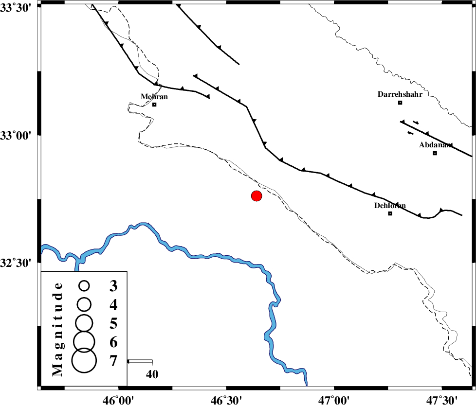
| Location | Lat:32.762 Lon: 46.64 |
| Region | Iraq, 59 km -West of Dehloran |
Nearest Cities |
|
| 32 km West of Bishehzar, Ilam Province | |
| 55 km South of Gonbad-e pirmohammad, Ilam Province | |
| 59 km North West of Dehloran, Ilam Province | |
| 59 km South West of Meymeh, Ilam Province | |
| 60 km South East of Mehran, Ilam Province | |
| Depth | 15 km |
| Agency | |
Faults within 150 km: |
|
| MFF6 (Length: 144 km) , Distance to epicenter: 19 km | |
| ZFF4 (Length: 128 km) , Distance to epicenter: 47 km | |
| MFF7 (Length: 99 km) , Distance to epicenter: 58 km | |
| Number of Phases | 4 |
| RMS | 0.2 |
| Number of Stations | 4 |
| Error in Latitude | >6.8 km |
| Error in Longitude | 4.2 km |
| Error in Depth | 0 km |
Download waveform in seisan format
to download seisan software Click here
to access information about IIEES stations Click here
Amplitude | ||||||||
| UID | Agency | Station | Component | Amplitude | Period | Arrival Time | Proccessing Time | Signal Clip |
| 100141 | IIEES | SHGR | N | 145.2 | 0.43 | 2015-07-21 07:41:15 | 2015-07-21 11:03:00 | n |
Phase | ||||||||||||
| Agency | Station | Component | Phase Type | Phase Quality | First Motion | Observed Arrival Time | Time Residual | Loc. Flag | Input Weight | Distance | Azimuth | |
| IIEES | SHGR | Z | Pn | E | 2015-07-21 07:40:44 | -0.04 | y | 216 | 109 | |||
| IIEES | SNGE | Z | Pn | E | 2015-07-21 07:40:51 | 0.04 | y | 267 | 14 | |||
| IIEES | KHMZ | Z | Pn | E | 2015-07-21 07:40:59 | 0.29 | y | 328 | 70 | |||
| IIEES | ASAO | Z | Pn | E | 2015-07-21 07:41:04 | -0.31 | y | 371 | 57 | |||