
Magnitude |
3 |
| Date & Time (UTC) | 2017-01-11 16:40:38.3 |
| Date & Time (Local) | 1395/10/22 20:10:38.3 |
| Location | Lat:38.765 Lon: 48.82 |
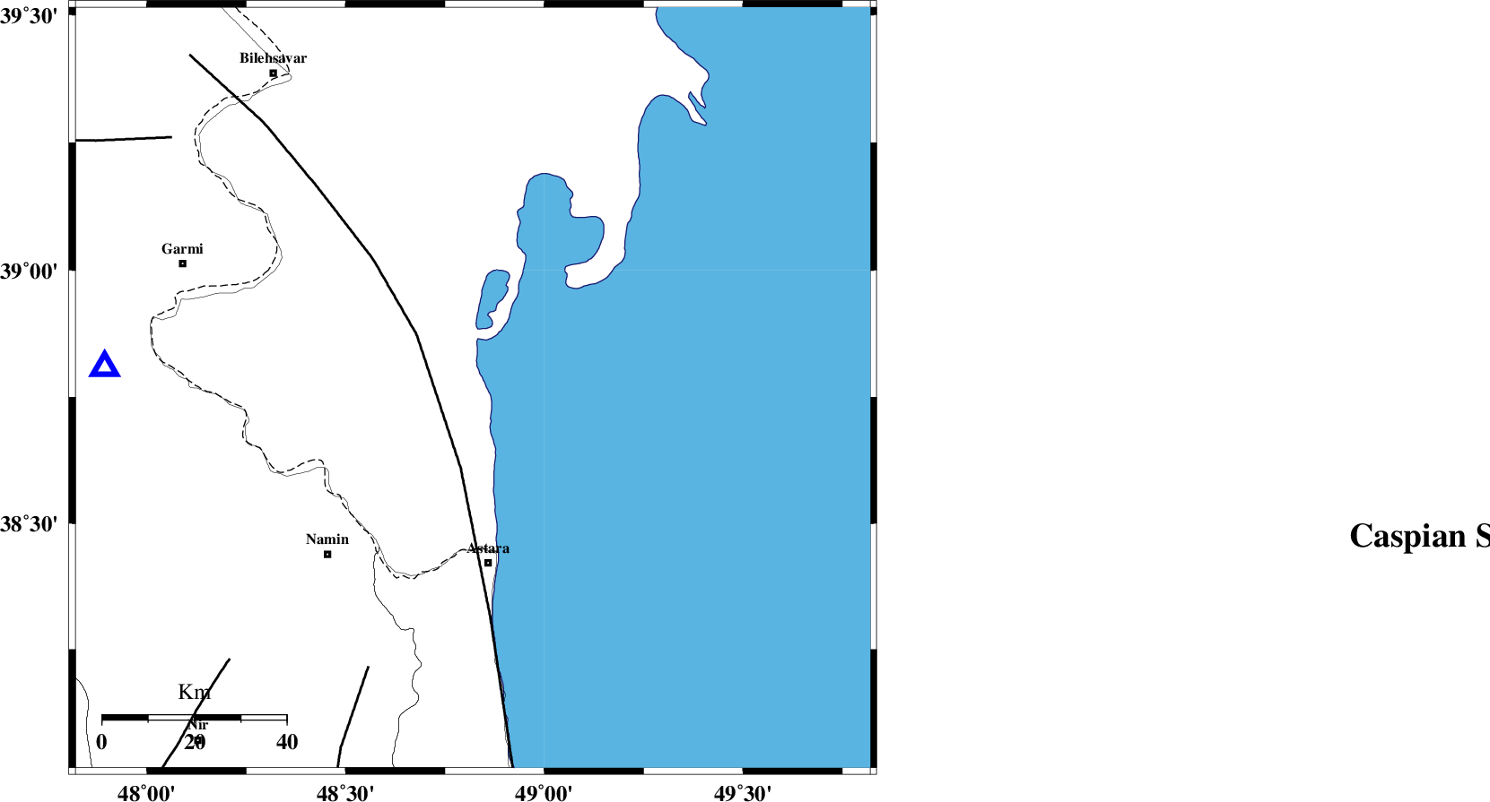
| Region | Azerbaijan, 38 km North of Astara |
Nearest Cities |
|
| 38 km North of Astara, Gilan Province | |
| 43 km North East of Anbaran, Ardebil Province | |
| 45 km North East of Kiladeh, Gilan Province | |
| 46 km North East of Lurun, Ardebil Province | |
| 48 km North East of Namin, Ardebil Province | |
| Depth | 17 km |
| Agency | |
Faults within 150 km: |
|
| TALESH_F (Length: 258 km) , Distance to epicenter: 17 km | |
| SANGAVAR_F (Length: 61 km) , Distance to epicenter: 65 km | |
| BOZQUSH (Length: 70 km) , Distance to epicenter: 80 km | |
| Number of Phases | 9 |
| RMS | 0.3 |
| Number of Stations | 7 |
| Error in Latitude | >5.6 km |
| Error in Longitude | 4.5 km |
| Error in Depth | 9.4 km |
Download waveform in seisan format
to download seisan software Click here
to access information about IIEES stations Click here
Amplitude | ||||||||
| UID | Agency | Station | Component | Amplitude | Period | Arrival Time | Proccessing Time | Signal Clip |
| 112254 | IIEES | GRMI | E | 446.3 | 0.11 | 2017-01-11 16:41:02 | 2017-01-14 06:33:00 | n |
| 112255 | IIEES | GRMI | N | 1055.4 | 0.2 | 2017-01-11 16:41:02 | 2017-01-14 06:33:00 | n |
Phase | ||||||||||||
| Agency | Station | Component | Phase Type | Phase Quality | First Motion | Observed Arrival Time | Time Residual | Loc. Flag | Input Weight | Distance | Azimuth | |
| IIEES | GRMI | Z | Pg | E | 2017-01-11 16:40:52 | 0.43 | y | 80.6 | 274 | |||
| IIEES | GRMI | N | Sg | E | 2017-01-11 16:41:02 | -0.43 | y | 80.6 | 274 | |||
| IIEES | GIDE | Z | Pn | E | 2017-01-11 16:41:13 | -0.38 | y | 226 | 155 | |||
| IIEES | ZNJK | Z | Pn | E | 2017-01-11 16:41:15 | 0.4 | y | 233 | 183 | |||
| IIEES | ZNJK | N | S | E | 2017-01-11 16:41:41 | -0.05 | y | 233 | 183 | |||
| IIEES | MAKU | Z | Pn | E | 2017-01-11 16:41:31 | 0.13 | y | 364 | 282 | |||
| IIEES | SNGE | Z | Pn | E | 2017-01-11 16:41:39 | 0.03 | y | 428 | 198 | |||
| IIEES | MRVT | Z | Pn | E | 2017-01-11 16:42:05 | -0.32 | y | 648 | 99 | |||
| IIEES | SHRO | Z | Pn | E | 2017-01-11 16:42:13 | 0.12 | y | 706 | 113 | |||