
Magnitude |
2.5 |
| Date & Time (UTC) | 2017-10-27 20:00:22.1 |
| Date & Time (Local) | 1396/8/5 23:30:22.1 |
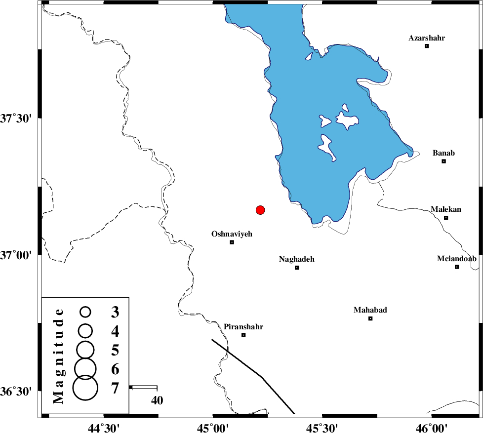
| Location | Lat:37.164 Lon: 45.216 |
| Region | Azarbaijan Gharbi Province, 17 km North-East of Oshnaviyeh |
Nearest Cities |
|
| 10 km North East of Aghbelagh, Azarbaijan Gharbi Province | |
| 17 km North East of Oshnaviyeh, Azarbaijan Gharbi Province | |
| 21 km North of Mirabad, Azarbaijan Gharbi Province | |
| 21 km North of Nalus, Azarbaijan Gharbi Province | |
| 28 km North West of Naqadeh, Azarbaijan Gharbi Province | |
| Depth | 14 km |
| Agency | |
Faults within 150 km: |
|
| PIRANSHAHR_F (Length: 253 km) , Distance to epicenter: 56 km | |
| SALMAS (Length: 20 km) , Distance to epicenter: 104 km | |
| N_TABRIZ_F2 (Length: 52 km) , Distance to epicenter: 116 km | |
| Number of Phases | 6 |
| RMS | 0.2 |
| Number of Stations | 4 |
| Error in Latitude | >2.1 km |
| Error in Longitude | 7.4 km |
| Error in Depth | 9.6 km |
Download waveform in seisan format
to download seisan software Click here
to access information about IIEES stations Click here
Amplitude | ||||||||
| UID | Agency | Station | Component | Amplitude | Period | Arrival Time | Proccessing Time | Signal Clip |
| 120843 | IIEES | SNGE | E | 17.3 | 0.51 | 2017-10-27 20:01:54 | 2017-10-28 08:21:00 | n |
Phase | ||||||||||||
| Agency | Station | Component | Phase Type | Phase Quality | First Motion | Observed Arrival Time | Time Residual | Loc. Flag | Input Weight | Distance | Azimuth | |
| IIEES | MAKU | Z | Pn | E | 2017-10-27 20:01:00 | -0.11 | y | 248 | 349 | |||
| IIEES | GRMI | Z | Pn | E | 2017-10-27 20:01:07 | 0.48 | y | 298 | 51 | |||
| IIEES | GRMI | N | Sg | E | 2017-10-27 20:01:45 | -0.17 | y | 298 | 51 | |||
| IIEES | SNGE | Z | Pn | E | 2017-10-27 20:01:06 | -0.27 | y | 299 | 140 | |||
| IIEES | SNGE | N | Sg | E | 2017-10-27 20:01:46 | 0.1 | y | 299 | 140 | |||
| IIEES | ZNJK | Z | Pn | E | 2017-10-27 20:01:08 | -0.04 | y | 314 | 99 | |||