
Magnitude |
3 |
| Date & Time (UTC) | 2018-02-18 22:25:08.1 |
| Date & Time (Local) | 1396/11/30 01:55:08.1 |
| Location | Lat:34.468 Lon: 45.334 |
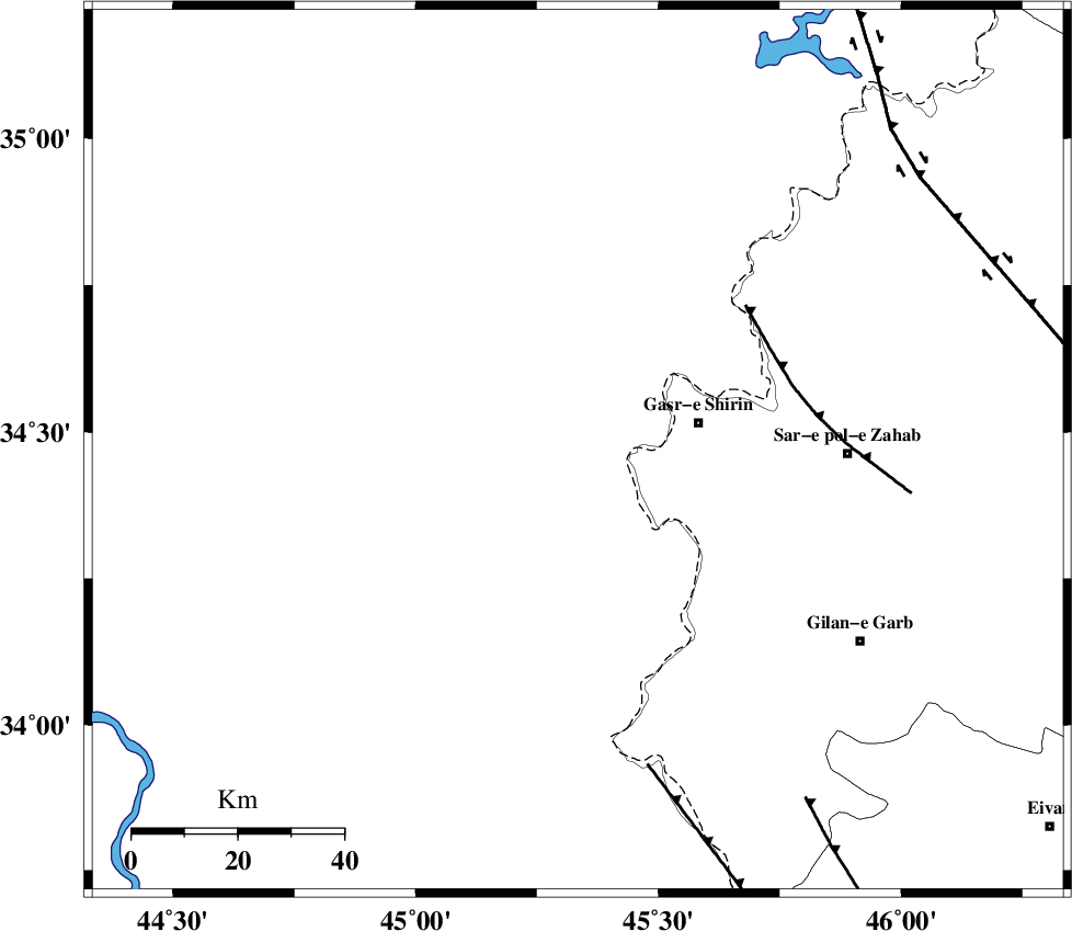
| Region | Iraq, 23 km -West of Qasr-E-Shirin |
Nearest Cities |
|
| 15 km North West of Khosravi, Kermanshah Province | |
| 23 km West of Qasr-E-Shirin, Kermanshah Province | |
| 24 km North West of Seyyed sohrab, Kermanshah Province | |
| 32 km West of Aqabarar, Kermanshah Province | |
| 41 km West of Qareh belagh, Kermanshah Province | |
| Depth | 14 km |
| Agency | |
Faults within 150 km: |
|
| MFF8 (Length: 48 km) , Distance to epicenter: 41 km | |
| ZFF4 (Length: 128 km) , Distance to epicenter: 61 km | |
| MFF7 (Length: 99 km) , Distance to epicenter: 79 km | |
| Number of Phases | 7 |
| RMS | 0.1 |
| Number of Stations | 4 |
| Error in Latitude | >1.1 km |
| Error in Longitude | 2.5 km |
| Error in Depth | 4.9 km |
Download waveform in seisan format
to download seisan software Click here
to access information about IIEES stations Click here
Amplitude | ||||||||
| UID | Agency | Station | Component | Amplitude | Period | Arrival Time | Proccessing Time | Signal Clip |
| 128731 | IIEES | ILBA | N | 255.3 | 0.39 | 2018-02-18 22:25:48 | 2018-02-19 07:03:00 | n |
| 128732 | IIEES | ILBA | E | 302.4 | 0.48 | 2018-02-18 22:25:48 | 2018-02-19 07:03:00 | n |
| 128733 | IIEES | SRSL | N | 168.2 | 0.51 | 2018-02-18 22:26:06 | 2018-02-19 07:03:00 | n |
| 128734 | IIEES | SRSL | E | 140 | 0.51 | 2018-02-18 22:26:15 | 2018-02-19 07:03:00 | n |
| 128735 | IIEES | SNGE | N | 98 | 0.39 | 2018-02-18 22:26:08 | 2018-02-19 07:03:00 | n |
Phase | ||||||||||||
| Agency | Station | Component | Phase Type | Phase Quality | First Motion | Observed Arrival Time | Time Residual | Loc. Flag | Input Weight | Distance | Azimuth | |
| IIEES | ILBA | Z | Pg | E | 2018-02-18 22:25:28 | -0.06 | y | 124 | 139 | |||
| IIEES | ILBA | N | Sg | E | 2018-02-18 22:25:43 | 0.03 | y | 124 | 139 | |||
| IIEES | SRSL | Z | Pg | E | 2018-02-18 22:25:39 | -0.02 | y | 194 | 3 | |||
| IIEES | SRSL | N | Sg | E | 2018-02-18 22:26:03 | 0.04 | y | 194 | 3 | |||
| IIEES | SNGE | Z | Pg | E | 2018-02-18 22:25:40 | -0.19 | y | 197 | 69 | |||
| IIEES | SNGE | N | Sg | E | 2018-02-18 22:26:04 | 0.03 | y | 197 | 69 | |||
| IIEES | ASAO | Z | Pn | E | 2018-02-18 22:26:09 | 0.24 | y | 431 | 88 | |||