
Magnitude |
2.9 |
| Date & Time (UTC) | 2018-05-21 12:21:31.8 |
| Date & Time (Local) | 1397/2/31 16:51:31.8 |
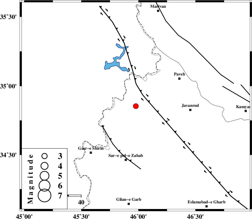
| Location | Lat:34.854 Lon: 45.977 |
| Region | Kermanshah Province, 17 km -East of Tazehabad |
Nearest Cities |
|
| 0 km North of Dehsheykh, Kermanshah Province | |
| 16 km West of Mazran, Kermanshah Province | |
| 16 km West of Bayangan, Kermanshah Province | |
| 17 km North East of Tazehabad, Kermanshah Province | |
| 22 km North West of Qolqoleh, Kermanshah Province | |
| Depth | 15 km |
| Agency | |
Faults within 150 km: |
|
| HZF4 (Length: 492 km) , Distance to epicenter: 10 km | |
| MFF8 (Length: 48 km) , Distance to epicenter: 31 km | |
| PIRANSHAHR_F (Length: 253 km) , Distance to epicenter: 66 km | |
| Number of Phases | 7 |
| RMS | 0.5 |
| Number of Stations | 6 |
| Error in Latitude | >4.7 km |
| Error in Longitude | 5.6 km |
| Error in Depth | 9.3 km |
Download waveform in seisan format
to download seisan software Click here
to access information about IIEES stations Click here
Amplitude | ||||||||
| UID | Agency | Station | Component | Amplitude | Period | Arrival Time | Proccessing Time | Signal Clip |
| 132148 | IIEES | SNGE | N | 165.9 | 0.84 | 2018-05-21 12:22:14 | 2018-05-22 10:06:00 | n |
| 132149 | IIEES | ILBA | N | 524.9 | 0.41 | 2018-05-21 12:22:20 | 2018-05-22 10:06:00 | n |
| 132150 | IIEES | SRSL | N | 112.6 | 0.28 | 2018-05-21 12:22:20 | 2018-05-22 10:06:00 | n |
| 132151 | IIEES | SRSL | E | 107.7 | 0.25 | 2018-05-21 12:22:22 | 2018-05-22 10:06:00 | n |
Phase | ||||||||||||
| Agency | Station | Component | Phase Type | Phase Quality | First Motion | Observed Arrival Time | Time Residual | Loc. Flag | Input Weight | Distance | Azimuth | |
| IIEES | SNGE | Z | Pg | E | 2018-05-21 12:21:52 | -0.87 | y | 128 | 78 | |||
| IIEES | SNGE | N | Sg | E | 2018-05-21 12:22:09 | 0.35 | y | 128 | 78 | |||
| IIEES | ILBA | Z | Pg | E | 2018-05-21 12:21:54 | 0.07 | y | 138 | 171 | |||
| IIEES | SRSL | Z | Pg | E | 2018-05-21 12:21:58 | -0.14 | y | 158 | 342 | |||
| IIEES | ASAO | Z | Pn | E | 2018-05-21 12:22:25 | -0.21 | y | 372 | 94 | |||
| IIEES | KHMZ | Z | Pn | E | 2018-05-21 12:22:28 | 0.42 | y | 387 | 107 | |||
| IIEES | GRMI | Z | Pn | E | 2018-05-21 12:22:38 | 0.6 | y | 471 | 21 | |||