
Magnitude |
2.5 |
| Date & Time (UTC) | 2018-12-21 05:54:47.6 |
| Date & Time (Local) | 1397/9/30 09:24:47.6 |
| Location | Lat:34.667 Lon: 50.644 |
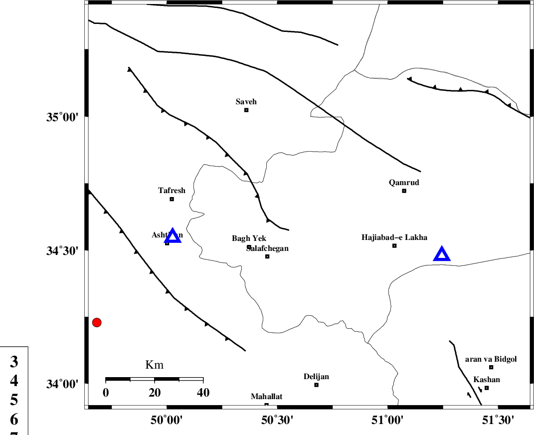
| Region | Qom Province, 21 km -West of Qom |
Nearest Cities |
|
| 16 km South East of Gazran, Qom Province | |
| 21 km North West of Qom, Qom Province | |
| 27 km North East of Salafchegan, Qom Province | |
| 30 km North East of Bagh yek, Qom Province | |
| 34 km South East of Taraznahid, Markazi Province | |
| Depth | 15 km |
| Agency | |
Faults within 150 km: |
|
| INDES_F (Length: 98 km) , Distance to epicenter: 13 km | |
| KUSHK_E_NOSRAT_F (Length: 230 km) , Distance to epicenter: 36 km | |
| TAFRESH_F (Length: 117 km) , Distance to epicenter: 66 km | |
| Number of Phases | 8 |
| RMS | 0.5 |
| Number of Stations | 8 |
| Error in Latitude | >4.8 km |
| Error in Longitude | 5.4 km |
| Error in Depth | 7.6 km |
Download waveform in seisan format
to download seisan software Click here
to access information about IIEES stations Click here
Amplitude | ||||||||
| UID | Agency | Station | Component | Amplitude | Period | Arrival Time | Proccessing Time | Signal Clip |
| 139547 | IIEES | GHVR | N | 281 | 0.6 | 2018-12-21 05:55:15 | 2018-12-23 03:58:00 | n |
| 139548 | IIEES | GHVR | E | 291.9 | 0.36 | 2018-12-21 05:55:15 | 2018-12-23 03:58:00 | n |
| 139549 | IIEES | KHMZ | N | 88.8 | 0.43 | 2018-12-21 05:55:25 | 2018-12-23 03:58:00 | n |
| 139550 | IIEES | THKV | N | 58.3 | 0.15 | 2018-12-21 05:55:29 | 2018-12-23 03:58:00 | n |
| 139551 | IIEES | DAMV | N | 63.4 | 0.21 | 2018-12-21 05:55:34 | 2018-12-23 03:58:00 | n |
| 139552 | IIEES | DAMV | E | 97.6 | 0.42 | 2018-12-21 05:55:39 | 2018-12-23 03:58:00 | n |
Phase | ||||||||||||
| Agency | Station | Component | Phase Type | Phase Quality | First Motion | Observed Arrival Time | Time Residual | Loc. Flag | Input Weight | Distance | Azimuth | |
| IIEES | ASAO | Z | Pg | E | 2018-12-21 05:54:57 | -0.53 | y | 58.2 | 257 | |||
| IIEES | GHVR | Z | Pg | E | 2018-12-21 05:54:57 | -0.38 | y | 58.9 | 110 | |||
| IIEES | KHMZ | Z | Pg | E | 2018-12-21 05:55:07 | -0.37 | y | 120 | 212 | |||
| IIEES | THKV | Z | Pg | E | 2018-12-21 05:55:10 | -0.35 | y | 140 | 9 | |||
| IIEES | DAMV | Z | Pg | E | 2018-12-21 05:55:12 | -1.73 | n | 4 | 161 | 48 | ||
| IIEES | ZNJK | Z | Pn | E | 2018-12-21 05:55:30 | 0.11 | y | 284 | 322 | |||
| IIEES | NASN | Z | Pn | E | 2018-12-21 05:55:32 | 0.75 | y | 288 | 135 | |||
| IIEES | SNGE | Z | Pn | E | 2018-12-21 05:55:34 | 0.89 | y | 305 | 280 | |||