
Magnitude |
3 |
| Date & Time (UTC) | 2025-04-24 17:45:13.2 |
| Date & Time (Local) | 1404/2/4 21:15:13.2 |
| Location | Lat:27.613 Lon: 57.474 |
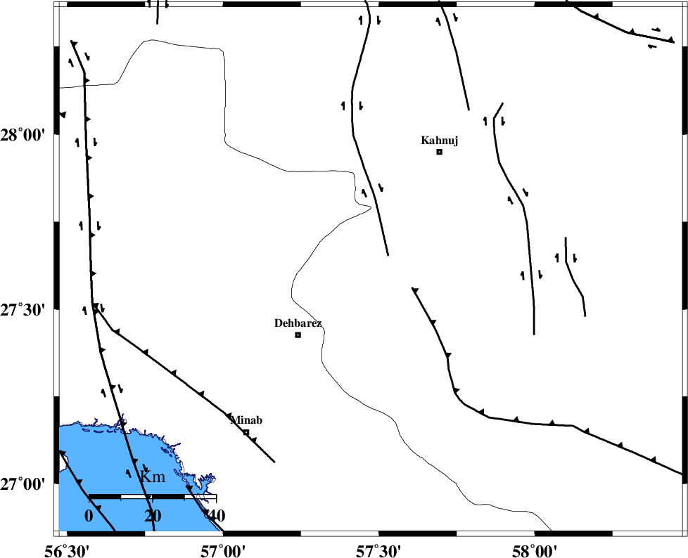
| Region | Kerman Province, 23 km North of Manujan |
Nearest Cities |
|
| 2 km North of Bejogan, Kerman Province | |
| 8 km North of Nodezh, Kerman Province | |
| 18 km West of Bargah, Kerman Province | |
| 23 km North of Manujan, Kerman Province | |
| 28 km South East of Ziaratali, Hormozgan Province | |
| Depth | 12 km |
| Agency | |
Faults within 150 km: |
|
| SABZEVARAN_F (Length: 190 km) , Distance to epicenter: 17 km | |
| JIROFT_F (Length: 144 km) , Distance to epicenter: 32 km | |
| ZENDAN_MINAB_F_Z1 (Length: 183 km) , Distance to epicenter: 43 km | |
| Number of Phases | 7 |
| RMS | 0.4 |
| Number of Stations | 7 |
| Error in Latitude | >4.7 km |
| Error in Longitude | 4.7 km |
| Error in Depth | 880 km |
Download waveform in seisan format
to download seisan software Click here
to access information about IIEES stations Click here
Amplitude | ||||||||
| UID | Agency | Station | Component | Amplitude | Period | Arrival Time | Proccessing Time | Signal Clip |
| 197991 | IIEES SC | KRBR | Z | 0.4 | 1 | 2025-04-24 17:45:55 | 2025-04-26 04:29:00 | n |
| 197992 | IIEES SC | UOSS | Z | 0.08 | 1 | 2025-04-24 17:46:01 | 2025-04-26 04:29:00 | n |
| 197993 | IIEES SC | IRSR | Z | 0.02 | 1 | 2025-04-24 17:46:03 | 2025-04-26 04:29:00 | n |
| 197994 | IIEES SC | CHBR | Z | 0.04 | 1 | 2025-04-24 17:46:07 | 2025-04-26 04:29:00 | n |
Phase | ||||||||||||
| Agency | Station | Component | Phase Type | Phase Quality | First Motion | Observed Arrival Time | Time Residual | Loc. Flag | Input Weight | Distance | Azimuth | |
| IIEES SC | KRBR | Z | EPn | E | 2025-04-24 17:45:55 | 0.4 | y | 0 | 272 | 345 | ||
| IIEES SC | UOSS | Z | EPn | E | 2025-04-24 17:46:01 | 0.2 | y | 0 | 322 | 203 | ||
| IIEES SC | IRSR | Z | EPn | E | 2025-04-24 17:46:03 | -0.5 | y | 0 | 343 | 102 | ||
| IIEES SC | CHBR | Z | EPn | E | 2025-04-24 17:46:07 | 0.1 | y | 0 | 374 | 127 | ||
| IIEES SC | GHIR | Z | EPn | E | 2025-04-24 17:46:16 | -0.5 | y | 0 | 448 | 280 | ||
| IIEES SC | BSRN | Z | EPn | E | 2025-04-24 17:46:04 | -19.4 | n | 4 | 508 | 18 | ||
| IIEES SC | YZKH | Z | EPn | E | 2025-04-24 17:46:33 | -2.1 | n | 4 | 598 | 332 | ||