
Magnitude |
3.9 |
| Date & Time (UTC) | 2025-04-25 03:48:57.9 |
| Date & Time (Local) | 1404/2/5 07:18:57.9 |
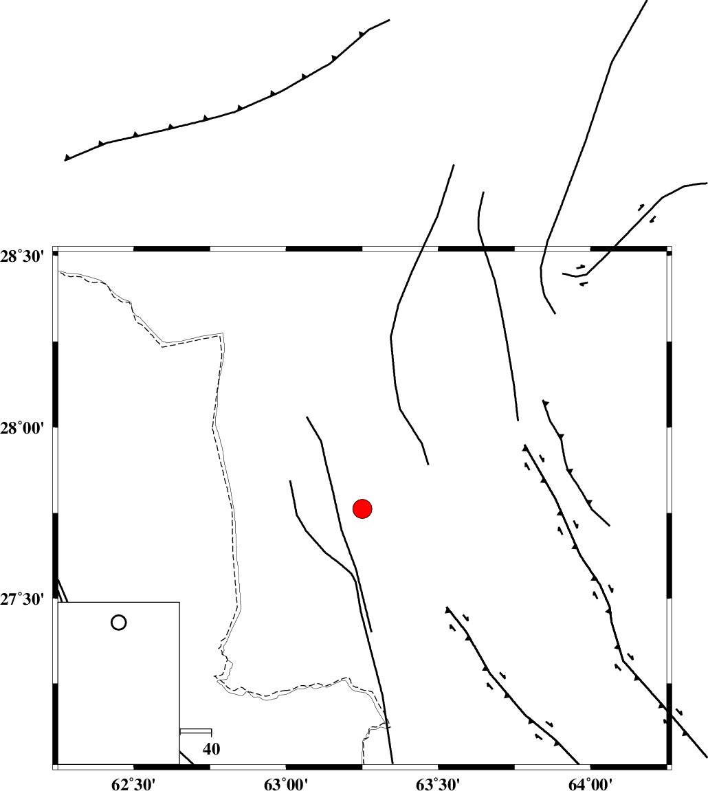
| Location | Lat:27.762 Lon: 63.25 |
| Region | Pakistan |
Nearest Cities |
|
| 57 km North East of Jaleq, Sistan va Baloochestan Province | |
| 59 km North East of Kalehgan, Sistan va Baloochestan Province | |
| 83 km North East of Esfandak, Sistan va Baloochestan Province | |
| 87 km South East of Rutak, Sistan va Baloochestan Province | |
| 90 km North East of Kashkuk, Sistan va Baloochestan Province | |
| Depth | 12 km |
| Agency | |
Faults within 150 km: |
|
| SARAVAN_F (Length: 263 km) , Distance to epicenter: 56 km | |
| KENAR_F (Length: 158 km) , Distance to epicenter: 87 km | |
| S_ZABOOLI_F (Length: 175 km) , Distance to epicenter: 108 km | |
| Number of Phases | 8 |
| RMS | 0.7 |
| Number of Stations | 8 |
| Error in Latitude | >14.5 km |
| Error in Longitude | 14.5 km |
| Error in Depth | 999 km |
Download waveform in seisan format
to download seisan software Click here
to access information about IIEES stations Click here
Amplitude | ||||||||
| UID | Agency | Station | Component | Amplitude | Period | Arrival Time | Proccessing Time | Signal Clip |
| 197995 | IIEES SC | CHBR | Z | 0.5 | 1 | 2025-04-25 03:49:50 | 2025-04-26 04:41:00 | n |
| 197996 | IIEES SC | KRBR | Z | 0.05 | 1 | 2025-04-25 03:50:30 | 2025-04-26 04:41:00 | n |
| 197997 | IIEES SC | SHRT | Z | 0.06 | 1 | 2025-04-25 03:50:34 | 2025-04-26 04:41:00 | n |
| 197998 | IIEES SC | TABS | Z | 0.008 | 1 | 2025-04-25 03:50:54 | 2025-04-26 04:41:00 | n |
Phase | ||||||||||||
| Agency | Station | Component | Phase Type | Phase Quality | First Motion | Observed Arrival Time | Time Residual | Loc. Flag | Input Weight | Distance | Azimuth | |
| IIEES SC | IRSR | Z | EPn | E | 2025-04-25 03:49:37 | 0.8 | y | 0 | 252 | 250 | ||
| IIEES SC | CHBR | Z | EPn | E | 2025-04-25 03:49:50 | -0.7 | y | 0 | 365 | 229 | ||
| IIEES SC | BSRN | Z | EPn | E | 2025-04-25 03:50:05 | -16.9 | n | 4 | 613 | 319 | ||
| IIEES SC | KRBR | Z | EPn | E | 2025-04-25 03:50:30 | 0.3 | y | 0 | 679 | 291 | ||
| IIEES SC | SHRT | Z | EPn | E | 2025-04-25 03:50:34 | 0.4 | y | 0 | 711 | 337 | ||
| IIEES SC | TABS | Z | EPn | E | 2025-04-25 03:50:54 | -0.4 | y | 0 | 878 | 318 | ||
| IIEES SC | YZKH | Z | EPn | E | 2025-04-25 03:51:08 | 0.4 | y | 0 | 980 | 302 | ||
| IIEES SC | GHIR | Z | EPn | E | 2025-04-25 03:51:10 | -1.2 | y | 0 | 1011 | 273 | ||


 IIEES All Rights Reserved