
Magnitude |
3.3 |
| Date & Time (UTC) | 2025-06-17 11:19:44.9 |
| Date & Time (Local) | 1404/3/27 14:49:44.9 |
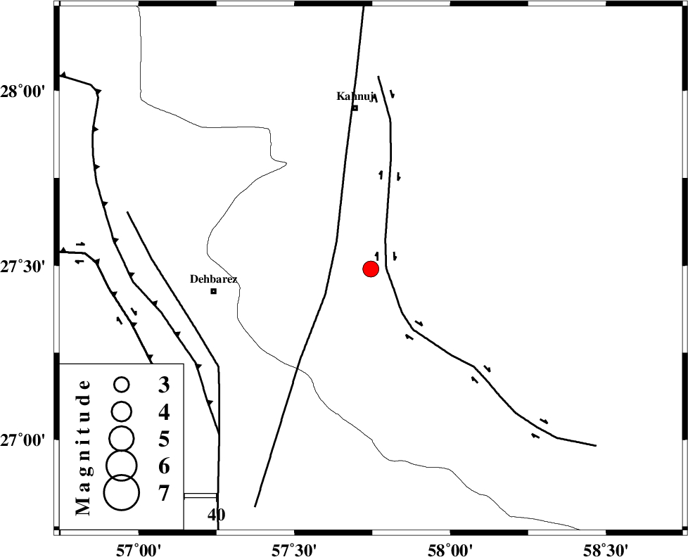
| Location | Lat:27.49 Lon: 57.745 |
| Region | Kerman Province, 26 km -East of Manujan |
Nearest Cities |
|
| 14 km West of Qalehy-eganj, Kerman Province | |
| 18 km South of Bargah, Kerman Province | |
| 26 km North East of Manujan, Kerman Province | |
| 30 km East of Nodezh, Kerman Province | |
| 30 km South East of Bejogan, Kerman Province | |
| Depth | 12 km |
| Agency | |
Faults within 150 km: |
|
| JIROFT_F (Length: 144 km) , Distance to epicenter: 5 km | |
| SABZEVARAN_F (Length: 190 km) , Distance to epicenter: 14 km | |
| ZENDAN_MINAB_F_Z1 (Length: 183 km) , Distance to epicenter: 58 km | |
| Number of Phases | 8 |
| RMS | 0.3 |
| Number of Stations | 8 |
| Error in Latitude | >2.3 km |
| Error in Longitude | 2.3 km |
| Error in Depth | 485.5 km |
Download waveform in seisan format
to download seisan software Click here
to access information about IIEES stations Click here
Amplitude | ||||||||
| UID | Agency | Station | Component | Amplitude | Period | Arrival Time | Proccessing Time | Signal Clip |
| 198671 | IIEES SC | UOSS | Z | 0.1 | 1 | 2025-06-17 11:20:32 | 2025-07-15 04:56:00 | n |
| 198672 | IIEES SC | CHBR | Z | 0.1 | 1 | 2025-06-17 11:20:35 | 2025-07-15 04:56:00 | n |
| 198673 | IIEES SC | SHRT | Z | 0.02 | 1 | 2025-06-17 11:21:22 | 2025-07-15 04:56:00 | n |
Phase | ||||||||||||
| Agency | Station | Component | Phase Type | Phase Quality | First Motion | Observed Arrival Time | Time Residual | Loc. Flag | Input Weight | Distance | Azimuth | |
| IIEES SC | KRBR | Z | EPn | E | 2025-06-17 11:20:29 | 0.4 | y | 0 | 292 | 341 | ||
| IIEES SC | IRSR | Z | EPn | E | 2025-06-17 11:20:31 | -0.5 | y | 0 | 314 | 101 | ||
| IIEES SC | UOSS | Z | EPn | E | 2025-06-17 11:20:32 | 0 | y | 0 | 321 | 209 | ||
| IIEES SC | CHBR | Z | EPn | E | 2025-06-17 11:20:35 | 0.4 | y | 0 | 344 | 128 | ||
| IIEES SC | GHIR | Z | EPn | E | 2025-06-17 11:20:51 | -0.3 | y | 0 | 477 | 281 | ||
| IIEES SC | BSRN | Z | EPn | E | 2025-06-17 11:20:45 | -11.6 | n | 4 | 514 | 15 | ||
| IIEES SC | YZKH | Z | EPn | E | 2025-06-17 11:21:00 | -9.7 | n | 4 | 623 | 331 | ||
| IIEES SC | SHRT | Z | EPn | E | 2025-06-17 11:21:22 | -0.1 | y | 0 | 725 | 20 | ||