
Magnitude |
3.3 |
| Date & Time (UTC) | 2025-08-06 09:35:10.1 |
| Date & Time (Local) | 1404/5/15 13:05:10.1 |
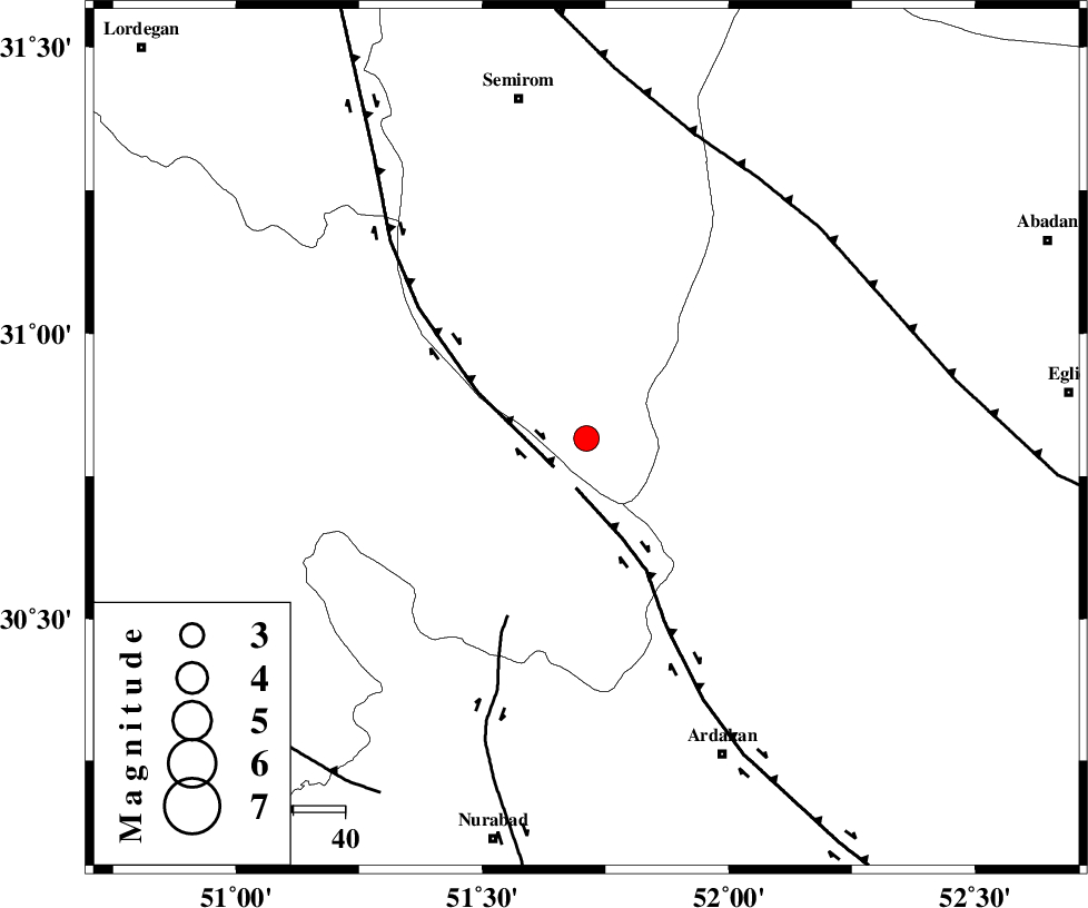
| Location | Lat:30.816 Lon: 51.711 |
| Region | Esfahan Province, 21 km North-East of Yasuj |
Nearest Cities |
|
| 12 km West of Bideh, Esfahan Province | |
| 21 km North East of Yasuj, Kohkiluieh va boyerahmad Province | |
| 25 km East of Sisakht, Kohkiluieh va boyerahmad Province | |
| 26 km North East of Tal-e khosro, Kohkiluieh va boyerahmad Province | |
| 28 km North East of Kerik, Kohkiluieh va boyerahmad Province | |
| Depth | 12 km |
| Agency | |
Faults within 150 km: |
|
| DENA_F (Length: 137 km) , Distance to epicenter: 8 km | |
| HZF3 (Length: 197 km) , Distance to epicenter: 10 km | |
| KAZERUN_F (Length: 96 km) , Distance to epicenter: 38 km | |
| Number of Phases | 5 |
| RMS | 0.2 |
| Number of Stations | 5 |
| Error in Latitude | >30.8 km |
| Error in Longitude | 51.7 km |
| Error in Depth | 12 km |
Download waveform in seisan format
to download seisan software Click here
to access information about IIEES stations Click here
Amplitude | ||||||||
| UID | Agency | Station | Component | Amplitude | Period | Arrival Time | Proccessing Time | Signal Clip |
| 198809 | IIEES SC | NASN | Z | 0.2 | 1 | 2025-08-06 09:35:48 | 2025-08-09 07:49:00 | n |
| 198810 | IIEES SC | GHVR | Z | 0.08 | 1 | 2025-08-06 09:36:08 | 2025-08-09 07:49:00 | n |
| 198811 | IIEES SC | KRBR | Z | 0.05 | 1 | 2025-08-06 09:36:19 | 2025-08-09 07:49:00 | n |
Phase | ||||||||||||
| Agency | Station | Component | Phase Type | Phase Quality | First Motion | Observed Arrival Time | Time Residual | Loc. Flag | Input Weight | Distance | Azimuth | |
| IIEES SC | NASN | Z | EPn | E | 2025-08-06 09:35:48 | -0.1 | y | 0 | 243 | 25 | ||
| IIEES SC | GHIR | Z | EPn | E | 2025-08-06 09:35:55 | -0.2 | y | 0 | 306 | 156 | ||
| IIEES SC | GHVR | Z | EPn | E | 2025-08-06 09:36:08 | 0.2 | y | 0 | 409 | 354 | ||
| IIEES SC | ASAO | Z | EPn | E | 2025-08-06 09:36:24 | 11.3 | n | 4 | 443 | 339 | ||
| IIEES SC | KRBR | Z | EPn | E | 2025-08-06 09:36:19 | 0.2 | y | 0 | 494 | 101 | ||