
Magnitude |
2.9 |
| Date & Time (UTC) | 2025-10-27 12:19:56.0 |
| Date & Time (Local) | 1404/8/5 15:49:56.0 |
| Location | Lat:35.702 Lon: 51.967 |
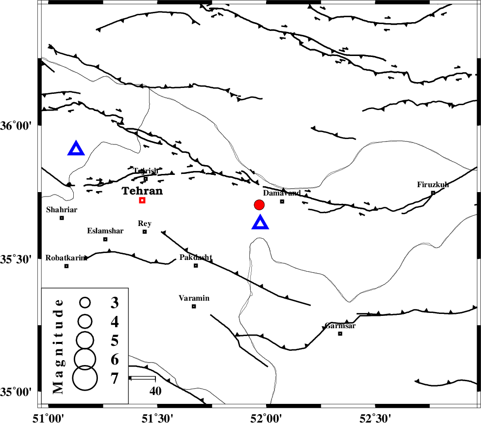
| Region | Tehran Province, 10 km -West of Damavand |
Nearest Cities |
|
| 7 km North of Ab sard, Tehran Province | |
| 8 km of Abali, Tehran Province | |
| 9 km of Rudehen, Tehran Province | |
| 10 km West of Damavand, Tehran Province | |
| 10 km of Bumehen, Tehran Province | |
| Depth | 12 km |
| Agency | |
Faults within 150 km: |
|
| MOSHA_F (Length: 234 km) , Distance to epicenter: 10 km | |
| N_TEHRAN_F4 (Length: 115 km) , Distance to epicenter: 22 km | |
| EYVANEKEY_F (Length: 74 km) , Distance to epicenter: 30 km | |
| Number of Phases | 8 |
| RMS | 0.6 |
| Number of Stations | 8 |
| Error in Latitude | >8.6 km |
| Error in Longitude | 8.6 km |
| Error in Depth | 21.9 km |
Download waveform in seisan format
to download seisan software Click here
to access information about IIEES stations Click here
Amplitude | ||||||||
| UID | Agency | Station | Component | Amplitude | Period | Arrival Time | Proccessing Time | Signal Clip |
| 199874 | IIEES SC | GLO | Z | 0.4 | 1 | 2025-10-27 12:20:26 | 2025-10-28 06:42:00 | n |
| 199875 | IIEES SC | ASAO | Z | 0.1 | 1 | 2025-10-27 12:20:30 | 2025-10-28 06:42:00 | n |
| 199876 | IIEES SC | TABS | Z | 0.01 | 1 | 2025-10-27 12:21:08 | 2025-10-28 06:42:00 | n |
Phase | ||||||||||||
| Agency | Station | Component | Phase Type | Phase Quality | First Motion | Observed Arrival Time | Time Residual | Loc. Flag | Input Weight | Distance | Azimuth | |
| IIEES SC | DAMV | Z | EPg | E | 2025-10-27 12:19:43 | -15.8 | n | 4 | 8 | 177 | ||
| IIEES SC | DAMV | Z | ESg | E | 2025-10-27 12:19:46 | -15.1 | n | 4 | 8 | 177 | ||
| IIEES SC | GHVR | Z | EPg | E | 2025-10-27 12:20:21 | 0.6 | y | 0 | 151 | 206 | ||
| IIEES SC | ANJ | Z | EPg | E | 2025-10-27 12:20:24 | -0.4 | y | 0 | 178 | 98 | ||
| IIEES SC | GLO | Z | EPg | E | 2025-10-27 12:20:26 | -0.2 | y | 0 | 190 | 62 | ||
| IIEES SC | ASAO | Z | EPn | E | 2025-10-27 12:20:30 | -0.6 | y | 0 | 218 | 234 | ||
| IIEES SC | ABGH | Z | EPn | E | 2025-10-27 12:20:39 | 1.1 | y | 0 | 279 | 66 | ||
| IIEES SC | TABS | Z | EPn | E | 2025-10-27 12:21:08 | -0.5 | y | 0 | 524 | 116 | ||