
Magnitude |
2.6 |
| Date & Time (UTC) | 2007-09-11 10:16:31.2 |
| Date & Time (Local) | 1386/6/20 13:46:31.2 |
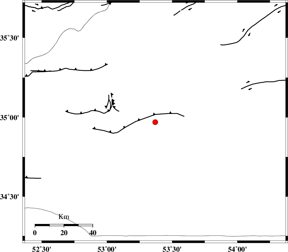
| Location | Lat:34.97 Lon: 53.37 |
| Region | 65 km South of Semnan, Semnan Province |
Nearest Cities |
|
| 55 km South East of Lasjerd, Semnan Province | |
| 56 km South East of Sorkheh, Semnan Province | |
| 64 km South West of Alae, Semnan Province | |
| 66 km South of Semnan, Semnan Province | |
| 74 km South East of Aftar, Semnan Province | |
| Depth | 14 km |
| Agency | |
Faults within 150 km: |
|
| KUH_E_GUGERD_F (Length: 73 km) , Distance to epicenter: 5 km | |
| KUH_E_GACHAB_F1 (Length: 53 km) , Distance to epicenter: 32 km | |
| KUH_E_GACHAB_F2 (Length: 31 km) , Distance to epicenter: 34 km | |
| Number of Phases | 5 |
| RMS | 0 |
| Number of Stations | 4 |
| Error in Latitude | >3.5 km |
| Error in Longitude | 5.4 km |
| Error in Depth | 4.5 km |
Download waveform in seisan format
to download seisan software Click here
to access information about IIEES stations Click here
Amplitude | ||||||||
| UID | Agency | Station | Component | Amplitude | Period | Arrival Time | Proccessing Time | Signal Clip |
| 39086 | IIEES | CHTH | E | 52 | 0.47 | 2007-09-11 10:17:37 | 2007-11-04 01:43:00 | n |
| 39087 | IIEES | CHTH | N | 43.5 | 0.32 | 2007-09-11 10:17:38 | 2007-11-04 01:43:00 | n |
| 39088 | IIEES | NASN | E | 38.9 | 0.33 | 2007-09-11 10:17:40 | 2007-11-04 01:43:00 | n |
Phase | ||||||||||||
| Agency | Station | Component | Phase Type | Phase Quality | First Motion | Observed Arrival Time | Time Residual | Loc. Flag | Input Weight | Distance | Azimuth | |
| IIEES | DAMV | Z | Pg | E | 2007-09-11 10:16:55 | 0 | y | 147 | 300 | |||
| IIEES | GHVR | Z | Pn | E | 2007-09-11 10:17:04 | 0 | y | 203 | 255 | |||
| IIEES | CHTH | Z | Pn | E | 2007-09-11 10:17:07 | 0 | y | 229 | 298 | |||
| IIEES | CHTH | N | Sg | E | 2007-09-11 10:17:36 | 0 | y | 229 | 298 | |||
| IIEES | NASN | Z | Pn | E | 2007-09-11 10:17:09 | 0 | y | 247 | 192 | |||