
Magnitude |
2.7 |
| Date & Time (UTC) | 2007-08-27 02:50:31.4 |
| Date & Time (Local) | 1386/6/5 06:20:31.4 |
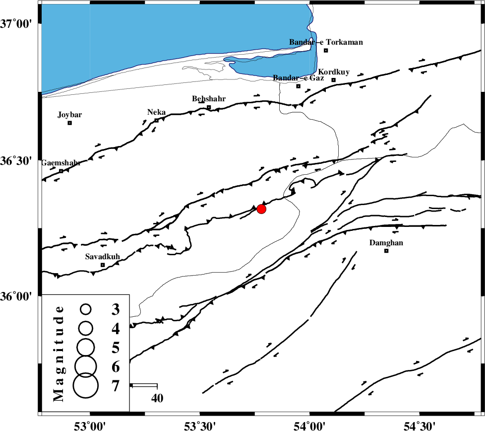
| Location | Lat:36.32 Lon: 53.78 |
| Region | 46 km South-East of Behshahr, Mazandaran Province |
Nearest Cities |
|
| 14 km North of Talma darreh, Mazandaran Province | |
| 24 km North East of Kiasar, Mazandaran Province | |
| 27 km South of Bishehboneh, Mazandaran Province | |
| 33 km South West of Sefid chah, Mazandaran Province | |
| 37 km North West of Darvar, Semnan Province | |
| Depth | 14 km |
| Agency | |
Faults within 150 km: |
|
| N_ALBORZ_F (Length: 360 km) , Distance to epicenter: 13 km | |
| DAMGHAN_F (Length: 95 km) , Distance to epicenter: 20 km | |
| ASTANEH_F (Length: 72 km) , Distance to epicenter: 21 km | |
| Number of Phases | 7 |
| RMS | 0.1 |
| Number of Stations | 5 |
| Error in Latitude | >3.4 km |
| Error in Longitude | 3.3 km |
| Error in Depth | 5.6 km |
Download waveform in seisan format
to download seisan software Click here
to access information about IIEES stations Click here
Amplitude | ||||||||
| UID | Agency | Station | Component | Amplitude | Period | Arrival Time | Proccessing Time | Signal Clip |
| 39528 | IIEES | THKV | E | 37.8 | 0.44 | 2007-08-27 02:51:50 | 2007-11-04 01:43:00 | n |
| 39529 | IIEES | THKV | N | 41.1 | 0.6 | 2007-08-27 02:51:55 | 2007-11-04 01:43:00 | n |
| 39530 | IIEES | GHVR | E | 38.5 | 0.72 | 2007-08-27 02:52:06 | 2007-11-04 01:43:00 | n |
| 39531 | IIEES | GHVR | N | 20.2 | 0.72 | 2007-08-27 02:52:09 | 2007-11-04 01:43:00 | n |
Phase | ||||||||||||
| Agency | Station | Component | Phase Type | Phase Quality | First Motion | Observed Arrival Time | Time Residual | Loc. Flag | Input Weight | Distance | Azimuth | |
| IIEES | DAMV | Z | Pg | E | 2007-08-27 02:51:01 | -0.1 | y | 180 | 245 | |||
| IIEES | DAMV | N | Sg | E | 2007-08-27 02:51:22 | -0.2 | y | 180 | 245 | |||
| IIEES | MRVT | Z | Pn | E | 2007-08-27 02:51:10 | -0.1 | y | 254 | 54 | |||
| IIEES | THKV | Z | Pn | E | 2007-08-27 02:51:12 | 0 | y | 265 | 261 | |||
| IIEES | THKV | N | Sg | E | 2007-08-27 02:51:46 | 0.2 | y | 265 | 261 | |||
| IIEES | GHVR | Z | Pn | E | 2007-08-27 02:51:17 | 0.1 | y | 308 | 229 | |||
| IIEES | NASN | Z | Pn | E | 2007-08-27 02:51:29 | 0 | y | 401 | 193 | |||