
Magnitude |
2.7 |
| Date & Time (UTC) | 2007-10-20 20:33:21.8 |
| Date & Time (Local) | 1386/7/29 00:03:21.8 |
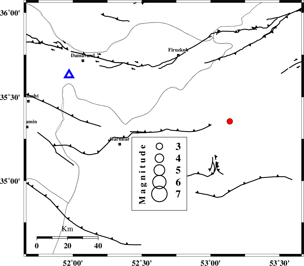
| Location | Lat:35.31 Lon: 52.66 |
| Region | 31 km East of Garmsar, Semnan Province |
Nearest Cities |
|
| 13 km North East of Kohanabad, Semnan Province | |
| 15 km North East of Aradan, Semnan Province | |
| 20 km North East of Davarabad, Semnan Province | |
| 27 km North East of Gardovan, Semnan Province | |
| 30 km South of Atashan, Tehran Province | |
| Depth | 6 km |
| Agency | |
Faults within 150 km: |
|
| GARMSAR_F (Length: 77 km) , Distance to epicenter: 9 km | |
| KUH_E_GACHAB_F1 (Length: 53 km) , Distance to epicenter: 27 km | |
| EYVANEKEY_F (Length: 74 km) , Distance to epicenter: 42 km | |
| Number of Phases | 6 |
| RMS | 0.1 |
| Number of Stations | 6 |
| Error in Latitude | >3.6 km |
| Error in Longitude | 8 km |
| Error in Depth | 6 km |
Download waveform in seisan format
to download seisan software Click here
to access information about IIEES stations Click here
Amplitude | ||||||||
| UID | Agency | Station | Component | Amplitude | Period | Arrival Time | Proccessing Time | Signal Clip |
| 39894 | IIEES | GHVR | E | 100.7 | 0.63 | 2007-10-20 20:34:13 | 2008-04-12 10:47:00 | n |
| 39895 | IIEES | GHVR | N | 110.2 | 0.43 | 2007-10-20 20:34:24 | 2008-04-12 10:47:00 | n |
| 39896 | IIEES | THKV | N | 134.6 | 0.52 | 2007-10-20 20:34:19 | 2008-04-12 10:47:00 | n |
Phase | ||||||||||||
| Agency | Station | Component | Phase Type | Phase Quality | First Motion | Observed Arrival Time | Time Residual | Loc. Flag | Input Weight | Distance | Azimuth | |
| IIEES | DAMV | Z | Pg | E | 2007-10-20 20:33:34 | 0.1 | y | 71.9 | 300 | |||
| IIEES | CHTH | Z | Pg | E | 2007-10-20 20:33:48 | -0.2 | y | 154 | 296 | |||
| IIEES | GHVR | Z | Pg | E | 2007-10-20 20:33:49 | -0.1 | y | 159 | 235 | |||
| IIEES | THKV | Z | Pg | E | 2007-10-20 20:33:52 | 0 | y | 175 | 293 | |||
| IIEES | ASAO | Z | Pn | E | 2007-10-20 20:34:02 | 0.2 | y | 255 | 251 | |||
| IIEES | NASN | Z | Pn | E | 2007-10-20 20:34:05 | 0 | y | 279 | 177 | |||