
Magnitude |
2.8 |
| Date & Time (UTC) | 2008-01-05 01:01:10.6 |
| Date & Time (Local) | 1386/10/15 04:31:10.6 |
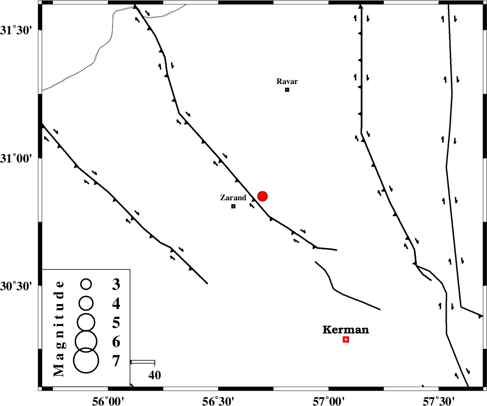
| Location | Lat:30.85 Lon: 56.7 |
| Region | 12 km East of Zarand, Kerman Province |
Nearest Cities |
|
| 8 km North of Hatkan, Kerman Province | |
| 13 km North East of Zarand, Kerman Province | |
| 14 km North of Bahaabad, Kerman Province | |
| 17 km North of Khankuk, Kerman Province | |
| 17 km North East of Mohammadabad, Kerman Province | |
| Depth | 18 km |
| Agency | |
Faults within 150 km: |
|
| KUHBANAN_F (Length: 189 km) , Distance to epicenter: 9 km | |
| CHATRUD_F (Length: 37 km) , Distance to epicenter: 36 km | |
| DARIVAN_F (Length: 131 km) , Distance to epicenter: 45 km | |
| Number of Phases | 4 |
| RMS | 0 |
| Number of Stations | 3 |
| Error in Latitude | >4.4 km |
| Error in Longitude | 4.9 km |
| Error in Depth | 6.7 km |
Download waveform in seisan format
to download seisan software Click here
to access information about IIEES stations Click here
Amplitude | ||||||||
| UID | Agency | Station | Component | Amplitude | Period | Arrival Time | Proccessing Time | Signal Clip |
| 47758 | IIEES | KRBR | E | 262.7 | 0.42 | 2008-01-05 01:01:50 | 2008-12-28 01:25:00 | n |
| 47759 | IIEES | NASN | E | 13.7 | 0.63 | 2008-01-05 01:03:18 | 2008-12-28 01:25:00 | n |
| 47760 | IIEES | NASN | N | 16.6 | 0.53 | 2008-01-05 01:03:21 | 2008-12-28 01:25:00 | n |
Phase | ||||||||||||
| Agency | Station | Component | Phase Type | Phase Quality | First Motion | Observed Arrival Time | Time Residual | Loc. Flag | Input Weight | Distance | Azimuth | |
| IIEES | KRBR | Z | Pg | E | 2008-01-05 01:01:27 | 0 | y | 95.9 | 176 | |||
| IIEES | ZHSF | Z | Pn | E | 2008-01-05 01:02:09 | 0 | y | 416 | 108 | |||
| IIEES | NASN | Z | Pn | E | 2008-01-05 01:02:11 | 0 | y | 427 | 301 | |||
| IIEES | NASN | E | Sg | E | 2008-01-05 01:03:10 | 0 | y | 427 | 301 | |||