
Magnitude |
3.7 |
| Date & Time (UTC) | 2008-12-11 07:19:23.6 |
| Date & Time (Local) | 1387/9/21 10:49:23.6 |
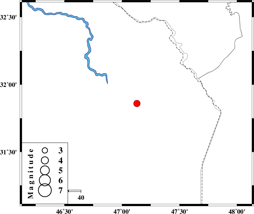
| Location | Lat:31.86 Lon: 47.13 |
| Region | 93 km South-West of Dehloran, Ilam Province |
Nearest Cities |
|
| 79 km South West of Musian, Ilam Province | |
| 82 km North West of Bostan, Khoozestan Province | |
| 93 km South West of Dehloran, Ilam Province | |
| 100 km North West of Hoveizeh, Khoozestan Province | |
| 105 km North West of Susangerd, Khoozestan Province | |
| Depth | 38 km |
| Agency | |
Faults within 150 km: |
|
| MFF6 (Length: 144 km) , Distance to epicenter: 95 km | |
| AHVAZ_F (Length: 99 km) , Distance to epicenter: 101 km | |
| BALARUD_F_Z1 (Length: 87 km) , Distance to epicenter: 125 km | |
| Number of Phases | 7 |
| RMS | 0.3 |
| Number of Stations | 6 |
| Error in Latitude | >14.5 km |
| Error in Longitude | 10.8 km |
| Error in Depth | 10.7 km |
Download waveform in seisan format
to download seisan software Click here
to access information about IIEES stations Click here
Amplitude | ||||||||
| UID | Agency | Station | Component | Amplitude | Period | Arrival Time | Proccessing Time | Signal Clip |
| 51416 | IIEES | SHGR | N | 3474.2 | 0.72 | 2008-12-11 07:20:10 | 2009-05-17 10:07:00 | n |
| 51417 | IIEES | SNGE | E | 169 | 0.56 | 2008-12-11 07:21:07 | 2009-05-17 10:07:00 | n |
| 51418 | IIEES | ASAO | N | 119.1 | 0.6 | 2008-12-11 07:21:21 | 2009-05-17 10:07:00 | n |
| 51419 | IIEES | GHVR | E | 50.5 | 0.6 | 2008-12-11 07:21:42 | 2009-05-17 10:07:00 | n |
| 51420 | IIEES | GHVR | N | 51.1 | 0.64 | 2008-12-11 07:21:48 | 2009-05-17 10:07:00 | n |
Phase | ||||||||||||
| Agency | Station | Component | Phase Type | Phase Quality | First Motion | Observed Arrival Time | Time Residual | Loc. Flag | Input Weight | Distance | Azimuth | |
| IIEES | SHGR | Z | Pg | E | 2008-12-11 07:19:49 | -0.1 | y | 161 | 80 | |||
| IIEES | SHGR | N | Sg | E | 2008-12-11 07:20:09 | 0 | y | 161 | 80 | |||
| IIEES | SNGE | Z | Pn | E | 2008-12-11 07:20:14 | 0.2 | y | 359 | 3 | |||
| IIEES | ASAO | Z | Pn | E | 2008-12-11 07:20:19 | 0 | y | 402 | 41 | |||
| IIEES | GHVR | Z | Pn | E | 2008-12-11 07:20:29 | 0.3 | y | 481 | 52 | |||
| IIEES | NASN | Z | Pn | E | 2008-12-11 07:20:37 | 0 | y | 545 | 78 | |||
| IIEES | CHTH | Z | Pn | E | 2008-12-11 07:20:40 | -0.7 | y | 582 | 38 | |||