
Magnitude |
3.8 |
| Date & Time (UTC) | 2009-02-09 16:16:09.3 |
| Date & Time (Local) | 1387/11/21 19:46:09.3 |
| Location | Lat:30.57 Lon: 51.16 |
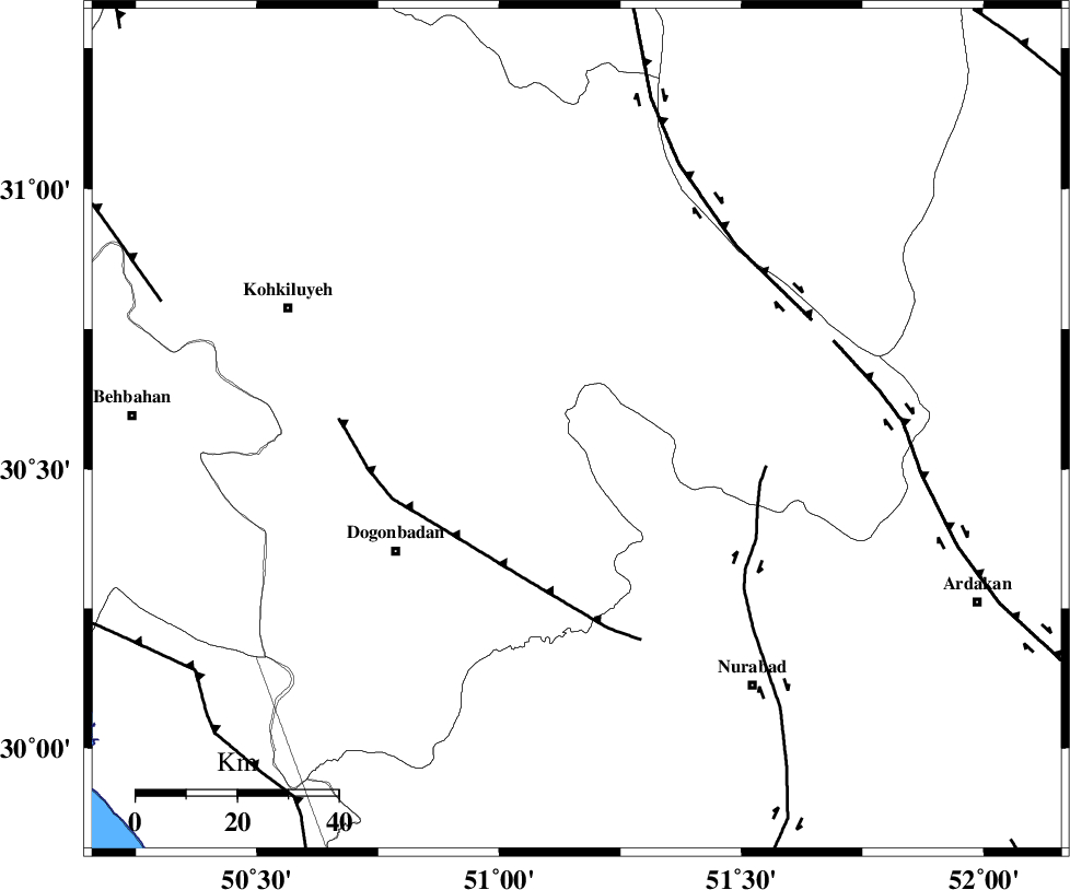
| Region | 41 km West of Yasuj, Kohkiluieh va boyerahmad Province |
Nearest Cities |
|
| 17 km North East of Abdehgah, Kohkiluieh va boyerahmad Province | |
| 20 km West of Sepidar, Kohkiluieh va boyerahmad Province | |
| 24 km North of Basht, Kohkiluieh va boyerahmad Province | |
| 28 km North West of Chehar taq, Fars Province | |
| 28 km South West of Chitab, Kohkiluieh va boyerahmad Province | |
| Depth | 15 km |
| Agency | |
Faults within 150 km: |
|
| MISHAN_F (Length: 76 km) , Distance to epicenter: 32 km | |
| KAZERUN_F (Length: 96 km) , Distance to epicenter: 38 km | |
| DENA_F (Length: 137 km) , Distance to epicenter: 48 km | |
| Number of Phases | 5 |
| RMS | 0.2 |
| Number of Stations | 5 |
| Error in Latitude | >5.9 km |
| Error in Longitude | 1.8 km |
| Error in Depth | 0 km |
Download waveform in seisan format
to download seisan software Click here
to access information about IIEES stations Click here
Amplitude | ||||||||
| UID | Agency | Station | Component | Amplitude | Period | Arrival Time | Proccessing Time | Signal Clip |
| 51902 | IIEES | SHGR | E | 669.6 | 0.52 | 2009-02-09 16:17:34 | 2009-06-27 08:52:00 | n |
| 51903 | IIEES | KRBR | N | 58.6 | 0.44 | 2009-02-09 16:18:31 | 2009-06-27 08:52:00 | n |
| 51904 | IIEES | KRBR | E | 61.1 | 0.64 | 2009-02-09 16:18:35 | 2009-06-27 08:52:00 | n |
Phase | ||||||||||||
| Agency | Station | Component | Phase Type | Phase Quality | First Motion | Observed Arrival Time | Time Residual | Loc. Flag | Input Weight | Distance | Azimuth | |
| IIEES | SHGR | Z | Pn | E | 2009-02-09 16:16:51 | 0.1 | y | 282 | 308 | |||
| IIEES | NASN | Z | Pn | E | 2009-02-09 16:16:53 | 0.2 | y | 292 | 32 | |||
| IIEES | ASAO | Z | Pn | E | 2009-02-09 16:17:13 | -0.3 | y | 454 | 347 | |||
| IIEES | KRBR | Z | Pn | E | 2009-02-09 16:17:24 | -0.1 | y | 543 | 96 | |||
| IIEES | TABS | Z | Pn | E | 2009-02-09 16:17:38 | -0.1 | y | 658 | 57 | |||