
Magnitude |
3.3 |
| Date & Time (UTC) | 2009-02-22 22:15:14.9 |
| Date & Time (Local) | 1387/12/5 01:45:14.9 |
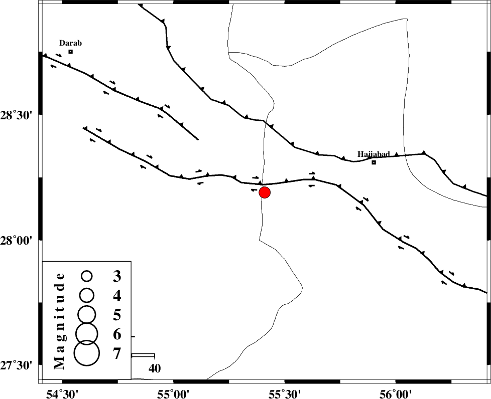
| Location | Lat:28.19 Lon: 55.41 |
| Region | 49 km South-West of Hajiabad, Hormozgan Province |
Nearest Cities |
|
| 22 km East of Fadami, Fars Province | |
| 24 km South East of Doborji, Fars Province | |
| 36 km North of Darz, Fars Province | |
| 43 km South of Tal bargah, Fars Province | |
| 43 km South East of Rostaq, Fars Province | |
| Depth | 17 km |
| Agency | |
Faults within 150 km: |
|
| HZF2 (Length: 437 km) , Distance to epicenter: 4 km | |
| MAIN_ZAGROS_R_F (Length: 1106 km) , Distance to epicenter: 24 km | |
| HZF1 (Length: 102 km) , Distance to epicenter: 37 km | |
| Number of Phases | 4 |
| RMS | 0 |
| Number of Stations | 3 |
| Error in Latitude | >7.2 km |
| Error in Longitude | 4.7 km |
| Error in Depth | 7.9 km |
Download waveform in seisan format
to download seisan software Click here
to access information about IIEES stations Click here
Amplitude | ||||||||
| UID | Agency | Station | Component | Amplitude | Period | Arrival Time | Proccessing Time | Signal Clip |
| 51996 | IIEES | GHIR | E | 252.8 | 0.48 | 2009-02-22 22:16:34 | 2009-06-27 08:52:00 | n |
| 51997 | IIEES | KRBR | E | 142.8 | 0.48 | 2009-02-22 22:16:35 | 2009-06-27 08:52:00 | n |
| 51998 | IIEES | GHIR | N | 190 | 0.44 | 2009-02-22 22:16:39 | 2009-06-27 08:52:00 | n |
Phase | ||||||||||||
| Agency | Station | Component | Phase Type | Phase Quality | First Motion | Observed Arrival Time | Time Residual | Loc. Flag | Input Weight | Distance | Azimuth | |
| IIEES | GHIR | Z | PN5 | E | 2009-02-22 22:15:52 | 0 | y | 238 | 273 | |||
| IIEES | KRBR | Z | PN5 | E | 2009-02-22 22:15:52 | 0 | y | 238 | 33 | |||
| IIEES | KRBR | N | Sg | E | 2009-02-22 22:16:22 | 0 | y | 238 | 33 | |||
| IIEES | NASN | Z | Pn | E | 2009-02-22 22:16:33 | 0 | y | 569 | 335 | |||