
Magnitude |
3.2 |
| Date & Time (UTC) | 2009-03-16 06:17:09.1 |
| Date & Time (Local) | 1387/12/26 09:47:09.1 |
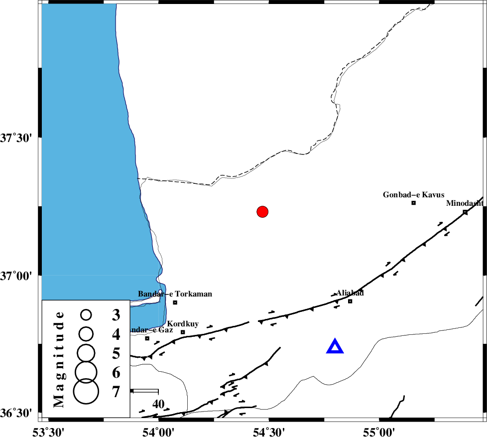
| Location | Lat:37.23 Lon: 54.47 |
| Region | 23 km North of Aq Qaleh, Golestan Province |
Nearest Cities |
|
| 24 km North of Aq Qaleh, Golestan Province | |
| 24 km North of Qanqarmeh, Golestan Province | |
| 29 km North West of Gariduji, Golestan Province | |
| 30 km North West of Nodeh malek, Golestan Province | |
| 32 km North East of Banavar, Golestan Province | |
| Depth | 14 km |
| Agency | |
Faults within 150 km: |
|
| KHAZAR_F (Length: 523 km) , Distance to epicenter: 42 km | |
| N_ALBORZ_F (Length: 360 km) , Distance to epicenter: 69 km | |
| SHAVAR_F (Length: 87 km) , Distance to epicenter: 74 km | |
| Number of Phases | 6 |
| RMS | 0.1 |
| Number of Stations | 5 |
| Error in Latitude | >9.8 km |
| Error in Longitude | 4.4 km |
| Error in Depth | 5.1 km |
Download waveform in seisan format
to download seisan software Click here
to access information about IIEES stations Click here
Amplitude | ||||||||
| UID | Agency | Station | Component | Amplitude | Period | Arrival Time | Proccessing Time | Signal Clip |
| 52199 | IIEES | MRVT | E | 273.7 | 0.23 | 2009-03-16 06:17:56 | 2009-06-27 08:52:00 | n |
| 52200 | IIEES | MRVT | N | 405.1 | 0.23 | 2009-03-16 06:17:56 | 2009-06-27 08:52:00 | n |
| 52201 | IIEES | THKV | N | 76.6 | 0.71 | 2009-03-16 06:18:50 | 2009-06-27 08:52:00 | n |
Phase | ||||||||||||
| Agency | Station | Component | Phase Type | Phase Quality | First Motion | Observed Arrival Time | Time Residual | Loc. Flag | Input Weight | Distance | Azimuth | |
| IIEES | MRVT | Z | Pg | E | 2009-03-16 06:17:34 | 0 | y | 151 | 71 | |||
| IIEES | BJRD | Z | Pn | E | 2009-03-16 06:17:49 | 0 | y | 265 | 78 | |||
| IIEES | BJRD | N | Sg | E | 2009-03-16 06:18:23 | 0 | y | 265 | 78 | |||
| IIEES | DAMV | Z | Pn | E | 2009-03-16 06:17:52 | 0 | y | 285 | 232 | |||
| IIEES | CHTH | Z | Pn | E | 2009-03-16 06:17:58 | 0 | y | 333 | 245 | |||
| IIEES | THKV | Z | Pn | E | 2009-03-16 06:18:00 | 0.1 | y | 353 | 247 | |||