
Magnitude |
2.9 |
| Date & Time (UTC) | 2009-12-18 13:14:40.1 |
| Date & Time (Local) | 1388/9/27 16:44:40.1 |
| Location | Lat:35.31 Lon: 53.64 |
| Region | Semnan Province, 36 km South-East of Semnan |
Nearest Cities |
|
| 29 km South East of Alae, Semnan Province | |
| 36 km South East of Semnan, Semnan Province | |
| 42 km South East of Sorkheh, Semnan Province | |
| 51 km East of Lasjerd, Semnan Province | |
| 52 km South East of Mehdishahr, Semnan Province | |
| Depth | 14 km |
| Agency | |
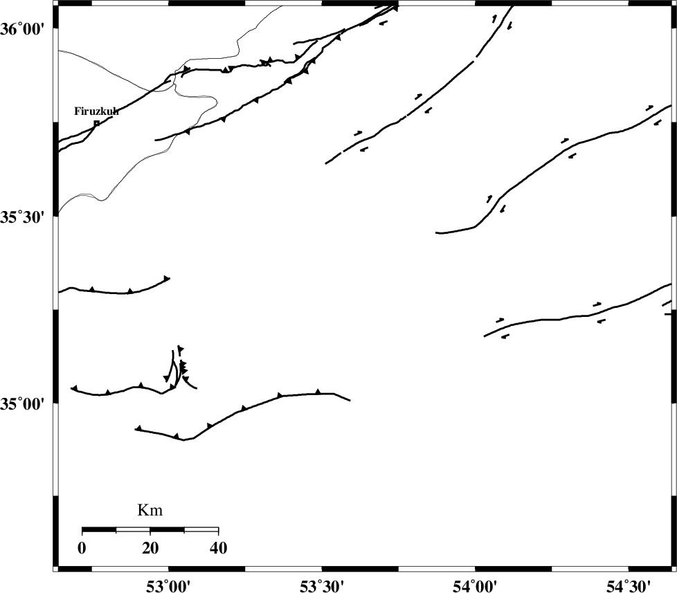
Faults within 150 km: |
|
| KUH_E_GACHAB_F2 (Length: 31 km) , Distance to epicenter: 19 km | |
| KUH_E_GUGERD_F (Length: 73 km) , Distance to epicenter: 33 km | |
| TORUD_F (Length: 136 km) , Distance to epicenter: 40 km | |
| Number of Phases | 5 |
| RMS | 0.3 |
| Number of Stations | 5 |
| Error in Latitude | >10.3 km |
| Error in Longitude | 5.5 km |
| Error in Depth | 13.6 km |
Download waveform in seisan format
to download seisan software Click here
to access information about IIEES stations Click here
Amplitude | ||||||||
| UID | Agency | Station | Component | Amplitude | Period | Arrival Time | Proccessing Time | Signal Clip |
| 59691 | IIEES | CHTH | N | 68.2 | 0.24 | 2009-12-18 13:15:51 | 2010-02-08 11:55:00 | n |
| 59692 | IIEES | NASN | E | 40.4 | 0.52 | 2009-12-18 13:16:01 | 2010-02-08 11:55:00 | n |
| 59693 | IIEES | ASAO | E | 51.2 | 0.48 | 2009-12-18 13:16:15 | 2010-02-08 11:55:00 | n |
Phase | ||||||||||||
| Agency | Station | Component | Phase Type | Phase Quality | First Motion | Observed Arrival Time | Time Residual | Loc. Flag | Input Weight | Distance | Azimuth | |
| IIEES | SHRO | Z | Pg | E | 2009-12-18 13:15:17 | 0.1 | y | 228 | 70 | |||
| IIEES | CHTH | Z | Pg | E | 2009-12-18 13:15:18 | -0.4 | y | 237 | 287 | |||
| IIEES | GHVR | Z | Pg | E | 2009-12-18 13:15:19 | 0.3 | y | 238 | 248 | |||
| IIEES | NASN | Z | Pn | E | 2009-12-18 13:15:23 | -0.4 | y | 289 | 196 | |||
| IIEES | ASAO | Z | PN5 | E | 2009-12-18 13:15:30 | 0.4 | y | 341 | 257 | |||