
Magnitude |
3 |
| Date & Time (UTC) | 2010-06-24 20:41:57.5 |
| Date & Time (Local) | 1389/4/4 01:11:57.5 |
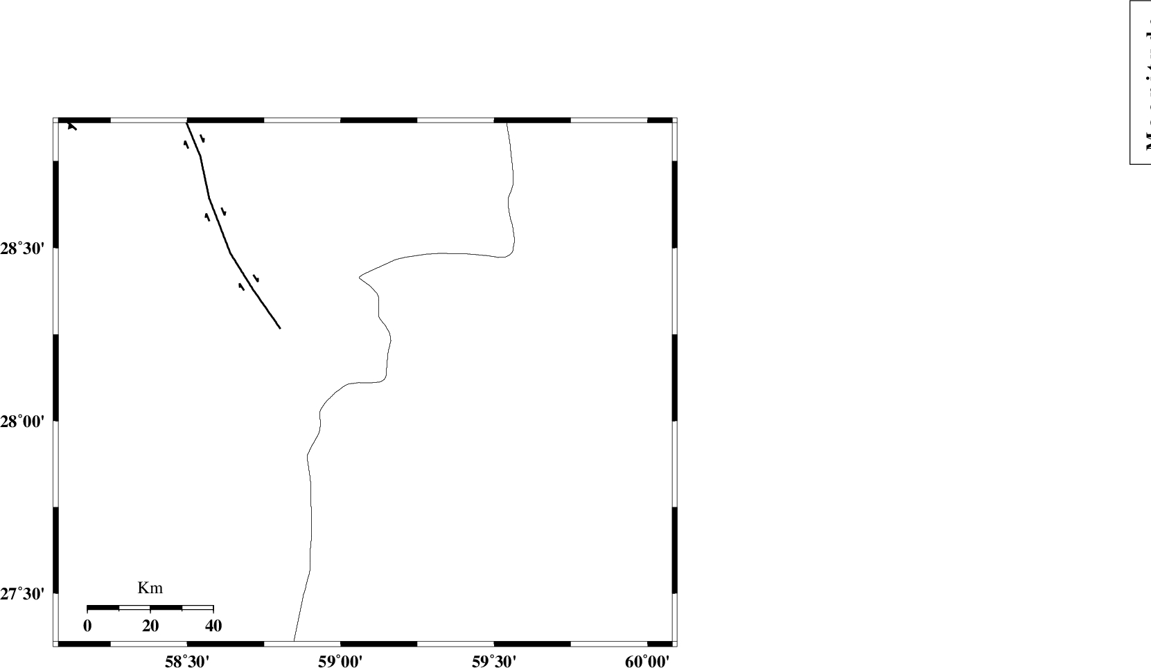
| Location | Lat:28.11 Lon: 59.08 |
| Region | Kerman Province, 137 km North-East of Kahnuj |
Nearest Cities |
|
| 56 km North East of Borj-e abbasabad, Kerman Province | |
| 66 km South of Hoseynabad, Kerman Province | |
| 70 km South East of Mohammadabad-e gonbaki, Kerman Province | |
| 81 km North West of Kalemursi, Sistan va Baloochestan Province | |
| 86 km South East of Void, Kerman Province | |
| Depth | 14 km |
| Agency | |
Faults within 150 km: |
|
| BAM_F (Length: 118 km) , Distance to epicenter: 32 km | |
| KANURAK_F (Length: 135 km) , Distance to epicenter: 107 km | |
| KASKIN_F (Length: 100 km) , Distance to epicenter: 115 km | |
| Number of Phases | 5 |
| RMS | 0.2 |
| Number of Stations | 3 |
| Error in Latitude | >3.6 km |
| Error in Longitude | 2.9 km |
| Error in Depth | 6.6 km |
Download waveform in seisan format
to download seisan software Click here
to access information about IIEES stations Click here
Amplitude | ||||||||
| UID | Agency | Station | Component | Amplitude | Period | Arrival Time | Proccessing Time | Signal Clip |
| 65073 | IIEES | BNDS | E | 65.9 | 0.44 | 2010-06-24 20:43:24 | 2010-06-27 09:39:00 | n |
| 65074 | IIEES | BNDS | N | 87.8 | 0.44 | 2010-06-24 20:43:27 | 2010-06-27 09:39:00 | n |
| 65075 | IIEES | KRBR | N | 49.1 | 0.48 | 2010-06-24 20:43:32 | 2010-06-27 09:39:00 | n |
| 65076 | IIEES | KRBR | E | 45 | 0.6 | 2010-06-24 20:43:38 | 2010-06-27 09:39:00 | n |
Phase | ||||||||||||
| Agency | Station | Component | Phase Type | Phase Quality | First Motion | Observed Arrival Time | Time Residual | Loc. Flag | Input Weight | Distance | Azimuth | |
| IIEES | ZHSF | Z | Pg | E | 2010-06-24 20:42:35 | -0.1 | y | 235 | 44 | |||
| IIEES | BNDS | Z | Pn | E | 2010-06-24 20:42:42 | 0 | y | 297 | 255 | |||
| IIEES | BNDS | N | Sg | E | 2010-06-24 20:43:21 | -0.1 | y | 297 | 255 | |||
| IIEES | KRBR | Z | Pn | E | 2010-06-24 20:42:43 | 0.3 | y | 307 | 313 | |||
| IIEES | KRBR | E | Sg | E | 2010-06-24 20:43:23 | -0.1 | y | 307 | 313 | |||