
Magnitude |
2.9 |
| Date & Time (UTC) | 2010-07-12 11:52:48.7 |
| Date & Time (Local) | 1389/4/21 16:22:48.7 |
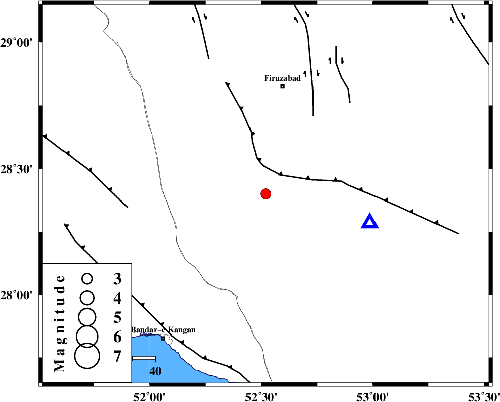
| Location | Lat:28.4 Lon: 52.52 |
| Region | Fars Province, 48 km South of Firuz Abad |
Nearest Cities |
|
| 14 km North West of Hengam, Fars Province | |
| 23 km East of Dahrom, Fars Province | |
| 36 km North East of Dolatabad, Fars Province | |
| 41 km South West of Jaydasht, Fars Province | |
| 46 km South of Ahmadabad, Fars Province | |
| Depth | 15 km |
| Agency | |
Faults within 150 km: |
|
| QIR_F (Length: 130 km) , Distance to epicenter: 11 km | |
| SABZ_PUSHAN_F_Z1 (Length: 69 km) , Distance to epicenter: 40 km | |
| SABZ_PUSHAN_F_Z2 (Length: 24 km) , Distance to epicenter: 54 km | |
| Number of Phases | 3 |
| RMS | 0 |
| Number of Stations | 3 |
| Error in Latitude | >5.6 km |
| Error in Longitude | 2.2 km |
| Error in Depth | 0 km |
Download waveform in seisan format
to download seisan software Click here
to access information about IIEES stations Click here
Amplitude | ||||||||
| UID | Agency | Station | Component | Amplitude | Period | Arrival Time | Proccessing Time | Signal Clip |
| 65905 | IIEES | GHIR | N | 876.6 | 0.2 | 2010-07-12 11:53:12 | 2010-07-14 10:36:00 | n |
| 65906 | IIEES | KRBR | E | 19.3 | 0.97 | 2010-07-12 11:55:16 | 2010-07-14 10:36:00 | n |
Phase | ||||||||||||
| Agency | Station | Component | Phase Type | Phase Quality | First Motion | Observed Arrival Time | Time Residual | Loc. Flag | Input Weight | Distance | Azimuth | |
| IIEES | GHIR | Z | Pg | E | 2010-07-12 11:52:57 | 0 | y | 47.6 | 105 | |||
| IIEES | AHRM | Z | Pg | E | 2010-07-12 11:53:10 | 0 | y | 130 | 294 | |||
| IIEES | KRBR | Z | Pn | E | 2010-07-12 11:53:52 | 0 | y | 448 | 66 | |||