
Magnitude |
3.2 |
| Date & Time (UTC) | 2010-08-02 05:38:36.0 |
| Date & Time (Local) | 1389/5/11 10:08:36.0 |
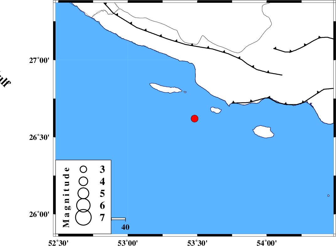
| Location | Lat:26.62 Lon: 53.48 |
| Region | Persian Gulf, 86 km South-East of Lamerd |
Nearest Cities |
|
| 66 km South West of Ahl, Fars Province | |
| 68 km South West of Ashkenan, Fars Province | |
| 85 km South East of Lamerd, Fars Province | |
| 90 km South of Beyram, Fars Province | |
| 91 km South West of Jenah, Hormozgan Province | |
| Depth | 46 km |
| Agency | |
Faults within 150 km: |
|
| ZFF1 (Length: 165 km) , Distance to epicenter: 29 km | |
| MFF3 (Length: 292 km) , Distance to epicenter: 52 km | |
| MFF1 (Length: 180 km) , Distance to epicenter: 76 km | |
| Number of Phases | 5 |
| RMS | 0.1 |
| Number of Stations | 4 |
| Error in Latitude | >6.3 km |
| Error in Longitude | 7.8 km |
| Error in Depth | 6.5 km |
Download waveform in seisan format
to download seisan software Click here
to access information about IIEES stations Click here
Amplitude | ||||||||
| UID | Agency | Station | Component | Amplitude | Period | Arrival Time | Proccessing Time | Signal Clip |
| 67450 | IIEES | GHIR | E | 300.2 | 0.36 | 2010-08-02 05:39:31 | 2010-08-02 05:57:00 | n |
| 67451 | IIEES | KRBR | E | 18.2 | 0.48 | 2010-08-02 05:40:35 | 2010-08-02 05:57:00 | n |
| 67452 | IIEES | KRBR | N | 21.6 | 0.79 | 2010-08-02 05:40:44 | 2010-08-02 05:57:00 | n |
Phase | ||||||||||||
| Agency | Station | Component | Phase Type | Phase Quality | First Motion | Observed Arrival Time | Time Residual | Loc. Flag | Input Weight | Distance | Azimuth | |
| IIEES | GHIR | Z | Pg | E | 2010-08-02 05:39:07 | 0 | y | 191 | 345 | |||
| IIEES | GHIR | E | Sg | E | 2010-08-02 05:39:30 | 0 | y | 191 | 345 | |||
| IIEES | BNDS | Z | Pn | E | 2010-08-02 05:39:15 | 0.1 | y | 281 | 71 | |||
| IIEES | KRBR | Z | Pn | E | 2010-08-02 05:39:42 | -0.2 | y | 493 | 40 | |||
| IIEES | NASN | Z | P | E | 2010-08-02 05:40:06 | 0 | y | 689 | 355 | |||