
Magnitude |
3.5 |
| Date & Time (UTC) | 2010-09-02 04:54:30.8 |
| Date & Time (Local) | 1389/6/11 09:24:30.8 |
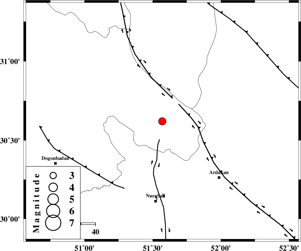
| Location | Lat:30.62 Lon: 51.57 |
| Region | Kohkiluieh va boyerahmad Province, 6 km Yasuj |
Nearest Cities |
|
| 2 km North of Tal-e khosro, Kohkiluieh va boyerahmad Province | |
| 6 km of Yasuj, Kohkiluieh va boyerahmad Province | |
| 7 km North of Hoseynabad, Kohkiluieh va boyerahmad Province | |
| 20 km North East of Sepidar, Kohkiluieh va boyerahmad Province | |
| 26 km South East of Kerik, Kohkiluieh va boyerahmad Province | |
| Depth | 18 km |
| Agency | |
Faults within 150 km: |
|
| KAZERUN_F (Length: 96 km) , Distance to epicenter: 13 km | |
| HZF3 (Length: 197 km) , Distance to epicenter: 17 km | |
| DENA_F (Length: 137 km) , Distance to epicenter: 18 km | |
| Number of Phases | 7 |
| RMS | 0.1 |
| Number of Stations | 6 |
| Error in Latitude | >1.4 km |
| Error in Longitude | 2.9 km |
| Error in Depth | 3.8 km |
Download waveform in seisan format
to download seisan software Click here
to access information about IIEES stations Click here
Amplitude | ||||||||
| UID | Agency | Station | Component | Amplitude | Period | Arrival Time | Proccessing Time | Signal Clip |
| 69810 | IIEES | GHIR | N | 207.7 | 0.49 | 2010-09-02 04:56:08 | 2010-09-02 05:22:00 | n |
| 69811 | IIEES | SHGR | E | 176.4 | 0.44 | 2010-09-02 04:56:07 | 2010-09-02 05:22:00 | n |
Phase | ||||||||||||
| Agency | Station | Component | Phase Type | Phase Quality | First Motion | Observed Arrival Time | Time Residual | Loc. Flag | Input Weight | Distance | Azimuth | |
| IIEES | AHRM | Z | Pg | E | 2010-09-02 04:55:02 | 0 | y | 196 | 188 | |||
| IIEES | NASN | Z | Pn | E | 2010-09-02 04:55:11 | -0.1 | y | 269 | 26 | |||
| IIEES | NASN | N | Sg | E | 2010-09-02 04:55:47 | 0.1 | y | 269 | 26 | |||
| IIEES | GHIR | Z | Pn | E | 2010-09-02 04:55:14 | 0 | y | 293 | 152 | |||
| IIEES | SHGR | Z | Pn | E | 2010-09-02 04:55:16 | 0.2 | y | 311 | 303 | |||
| IIEES | KHMZ | Z | Pn | E | 2010-09-02 04:55:25 | -0.2 | y | 378 | 337 | |||
| IIEES | TABS | Z | Pn | E | 2010-09-02 04:55:55 | 0.1 | y | 623 | 56 | |||