
Magnitude |
3.8 |
| Date & Time (UTC) | 2010-12-20 21:23:06.5 |
| Date & Time (Local) | 1389/9/30 00:53:06.5 |
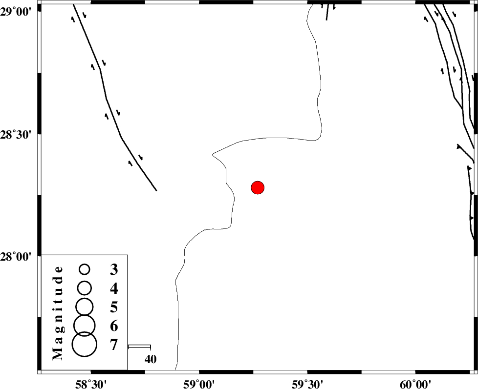
| Location | Lat:28.28 Lon: 59.27 |
| Region | Sistan va Baloochestan Province, 128 km South-East of Bam |
Nearest Cities |
|
| 51 km South East of Hoseynabad, Kerman Province | |
| 62 km South East of Mohammadabad-e gonbaki, Kerman Province | |
| 75 km South East of Void, Kerman Province | |
| 79 km North East of Borj-e abbasabad, Kerman Province | |
| 84 km South East of Fahroj, Kerman Province | |
| Depth | 15 km |
| Agency | |
Faults within 150 km: |
|
| BAM_F (Length: 118 km) , Distance to epicenter: 46 km | |
| KANURAK_F (Length: 135 km) , Distance to epicenter: 82 km | |
| DAMAN_F (Length: 167 km) , Distance to epicenter: 92 km | |
| Number of Phases | 5 |
| RMS | 0.3 |
| Number of Stations | 5 |
| Error in Latitude | >4.6 km |
| Error in Longitude | 3.8 km |
| Error in Depth | 0 km |
Download waveform in seisan format
to download seisan software Click here
to access information about IIEES stations Click here
Amplitude | ||||||||
| UID | Agency | Station | Component | Amplitude | Period | Arrival Time | Proccessing Time | Signal Clip |
| 75734 | IIEES | KRBR | E | 352.5 | 0.44 | 2010-12-20 21:24:35 | 2010-12-20 09:46:00 | n |
| 75735 | IIEES | KRBR | N | 367.2 | 0.48 | 2010-12-20 21:24:43 | 2010-12-20 09:46:00 | n |
| 75736 | IIEES | TABS | N | 60.7 | 0.68 | 2010-12-20 21:26:14 | 2010-12-20 09:46:00 | n |
| 75737 | IIEES | TABS | E | 32.6 | 0.6 | 2010-12-20 21:26:22 | 2010-12-20 09:46:00 | n |
Phase | ||||||||||||
| Agency | Station | Component | Phase Type | Phase Quality | First Motion | Observed Arrival Time | Time Residual | Loc. Flag | Input Weight | Distance | Azimuth | |
| IIEES | KRBR | Z | Pn | E | 2010-12-20 21:23:53 | 0.4 | y | 309 | 308 | |||
| IIEES | CHBR | Z | Pn | E | 2010-12-20 21:23:53 | 0 | y | 321 | 158 | |||
| IIEES | SHRT | Z | Pn | E | 2010-12-20 21:24:29 | 0 | y | 603 | 9 | |||
| IIEES | GHIR | Z | Pn | E | 2010-12-20 21:24:30 | -0.4 | y | 616 | 272 | |||
| IIEES | TABS | Z | Pn | E | 2010-12-20 21:24:32 | -0.4 | y | 630 | 341 | |||