
Magnitude |
4.1 |
| Date & Time (UTC) | 2011-01-05 17:50:57.5 |
| Date & Time (Local) | 1389/10/15 21:20:57.5 |
| Location | Lat:30.24 Lon: 51.75 |
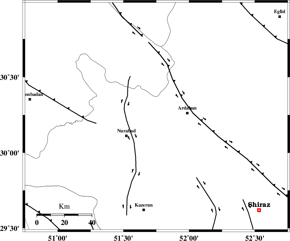
| Region | Fars Province, 23 km West of Ardakan |
Nearest Cities |
|
| 23 km East of Masiri, Fars Province | |
| 23 km West of Ardakan, Fars Province | |
| 26 km North West of Bahrghan, Fars Province | |
| 26 km South West of Kamhar, Fars Province | |
| 26 km North East of Nurabad, Fars Province | |
| Depth | 38 km |
| Agency | |
Faults within 150 km: |
|
| KAZERUN_F (Length: 96 km) , Distance to epicenter: 22 km | |
| HZF3 (Length: 197 km) , Distance to epicenter: 23 km | |
| MISHAN_F (Length: 76 km) , Distance to epicenter: 44 km | |
| Number of Phases | 6 |
| RMS | 0 |
| Number of Stations | 5 |
| Error in Latitude | >1.9 km |
| Error in Longitude | 3.2 km |
| Error in Depth | 4.9 km |
Download waveform in seisan format
to download seisan software Click here
to access information about IIEES stations Click here
Amplitude | ||||||||
| UID | Agency | Station | Component | Amplitude | Period | Arrival Time | Proccessing Time | Signal Clip |
| 76894 | IIEES | AHRM | E | 2487.2 | 0.72 | 2011-01-05 17:51:45 | 2011-01-05 06:06:00 | n |
| 76895 | IIEES | AHRM | N | 3838.8 | 0.52 | 2011-01-05 17:51:46 | 2011-01-05 06:06:00 | n |
| 76896 | IIEES | GHIR | E | 916.4 | 0.44 | 2011-01-05 17:52:12 | 2011-01-05 06:06:00 | n |
| 76897 | IIEES | GHIR | N | 1204.6 | 0.48 | 2011-01-05 17:52:15 | 2011-01-05 06:06:00 | n |
| 76898 | IIEES | SHGR | N | 697.9 | 0.72 | 2011-01-05 17:53:05 | 2011-01-05 06:06:00 | n |
Phase | ||||||||||||
| Agency | Station | Component | Phase Type | Phase Quality | First Motion | Observed Arrival Time | Time Residual | Loc. Flag | Input Weight | Distance | Azimuth | |
| IIEES | AHRM | Z | Pg | E | 2011-01-05 17:51:23 | -0.1 | y | 158 | 196 | |||
| IIEES | AHRM | E | Sg | E | 2011-01-05 17:51:42 | 0 | y | 158 | 196 | |||
| IIEES | GHIR | Z | Pn | E | 2011-01-05 17:51:33 | 0 | y | 247 | 151 | |||
| IIEES | NASN | Z | Pn | E | 2011-01-05 17:51:40 | 0 | y | 301 | 19 | |||
| IIEES | SHGR | Z | P | E | 2011-01-05 17:51:46 | 0 | y | 349 | 307 | |||
| IIEES | SNGE | Z | Pn | E | 2011-01-05 17:52:27 | -0.1 | y | 679 | 324 | |||