
Magnitude |
3.4 |
| Date & Time (UTC) | 2011-03-18 05:18:28.7 |
| Date & Time (Local) | 1389/12/27 08:48:28.7 |
| Location | Lat:31.56 Lon: 49.95 |
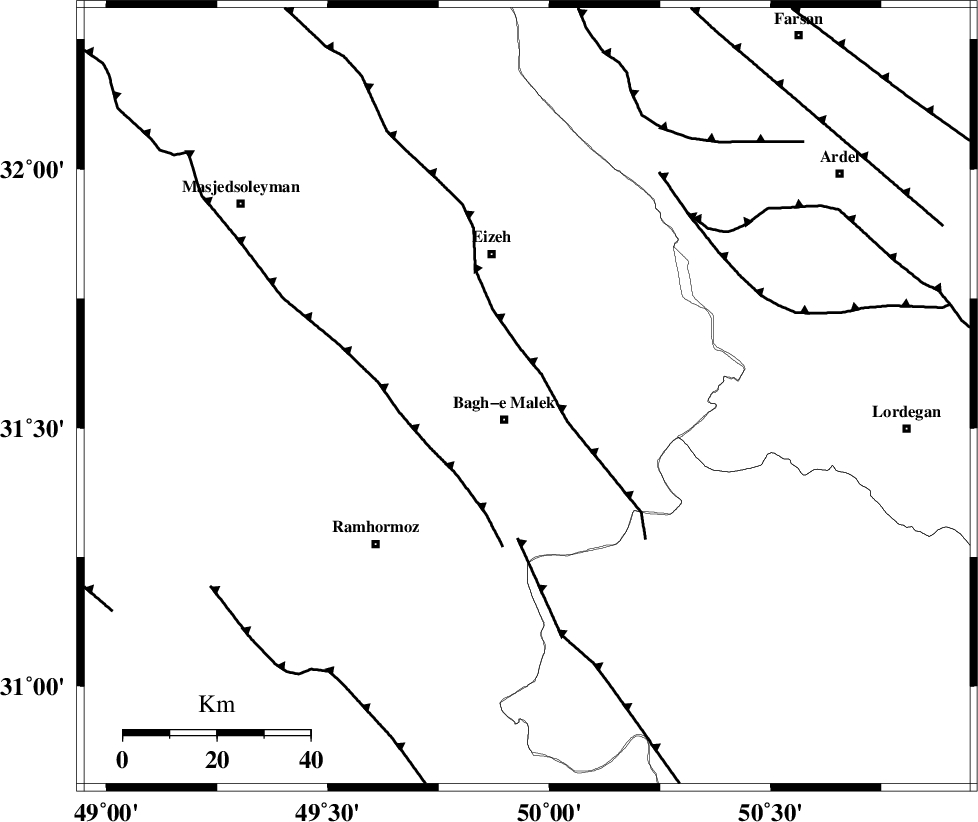
| Region | Khoozestan Province, 6 km Bagh Malek |
Nearest Cities |
|
| 4 km North of Abolabbas, Khoozestan Province | |
| 7 km North of Bagh Malek, Khoozestan Province | |
| 10 km of Ghaleh tal, Khoozestan Province | |
| 26 km North West of Seidun, Khoozestan Province | |
| 26 km North East of Midavood-e sofla, Khoozestan Province | |
| Depth | 34 km |
| Agency | |
Faults within 150 km: |
|
| MFF2 (Length: 205 km) , Distance to epicenter: 6 km | |
| DEZFUL_EMBAYMENT (Length: 228 km) , Distance to epicenter: 22 km | |
| MFF4 (Length: 62 km) , Distance to epicenter: 30 km | |
| Number of Phases | 7 |
| RMS | 0.1 |
| Number of Stations | 5 |
| Error in Latitude | >3 km |
| Error in Longitude | 2.9 km |
| Error in Depth | 4.4 km |
Download waveform in seisan format
to download seisan software Click here
to access information about IIEES stations Click here
Amplitude | ||||||||
| UID | Agency | Station | Component | Amplitude | Period | Arrival Time | Proccessing Time | Signal Clip |
| 78341 | IIEES | SHGR | N | 846.5 | 0.32 | 2011-03-18 05:19:07 | 2011-03-18 06:14:00 | n |
| 78342 | IIEES | SHGR | E | 903.6 | 0.36 | 2011-03-18 05:19:09 | 2011-03-18 06:14:00 | n |
| 78343 | IIEES | SNGE | N | 36 | 0.48 | 2011-03-18 05:20:22 | 2011-03-18 06:14:00 | n |
| 78344 | IIEES | SNGE | E | 40 | 0.76 | 2011-03-18 05:20:24 | 2011-03-18 06:14:00 | n |
Phase | ||||||||||||
| Agency | Station | Component | Phase Type | Phase Quality | First Motion | Observed Arrival Time | Time Residual | Loc. Flag | Input Weight | Distance | Azimuth | |
| IIEES | SHGR | Z | Pg | E | 2011-03-18 05:18:49 | -0.1 | y | 125 | 300 | |||
| IIEES | SHGR | E | Sg | E | 2011-03-18 05:19:04 | 0.1 | y | 125 | 300 | |||
| IIEES | KHMZ | Z | Pn | E | 2011-03-18 05:19:04 | 0.2 | y | 242 | 0 | |||
| IIEES | KHMZ | E | Sg | E | 2011-03-18 05:19:35 | 0 | y | 242 | 0 | |||
| IIEES | NASN | Z | P | E | 2011-03-18 05:19:12 | 0 | y | 303 | 62 | |||
| IIEES | ASAO | Z | Pn | E | 2011-03-18 05:19:15 | 0 | y | 332 | 1 | |||
| IIEES | SNGE | Z | P | E | 2011-03-18 05:19:31 | -0.2 | y | 461 | 329 | |||