
Magnitude |
2.7 |
| Date & Time (UTC) | 2011-04-29 01:42:20.1 |
| Date & Time (Local) | 1390/2/9 06:12:20.1 |
| Location | Lat:31.12 Lon: 50.03 |
| Region | Kohkiluieh va boyerahmad Province, 46 km South-East of Bagh Malek |
Nearest Cities |
|
| 26 km South East of Dalan, Khoozestan Province | |
| 27 km South of Seidun, Khoozestan Province | |
| 30 km South West of Esfandan, Kohkiluieh va boyerahmad Province | |
| 32 km North East of Jayzan, Khoozestan Province | |
| 32 km North East of Soltanabad, Khoozestan Province | |
| Depth | 46 km |
| Agency | |
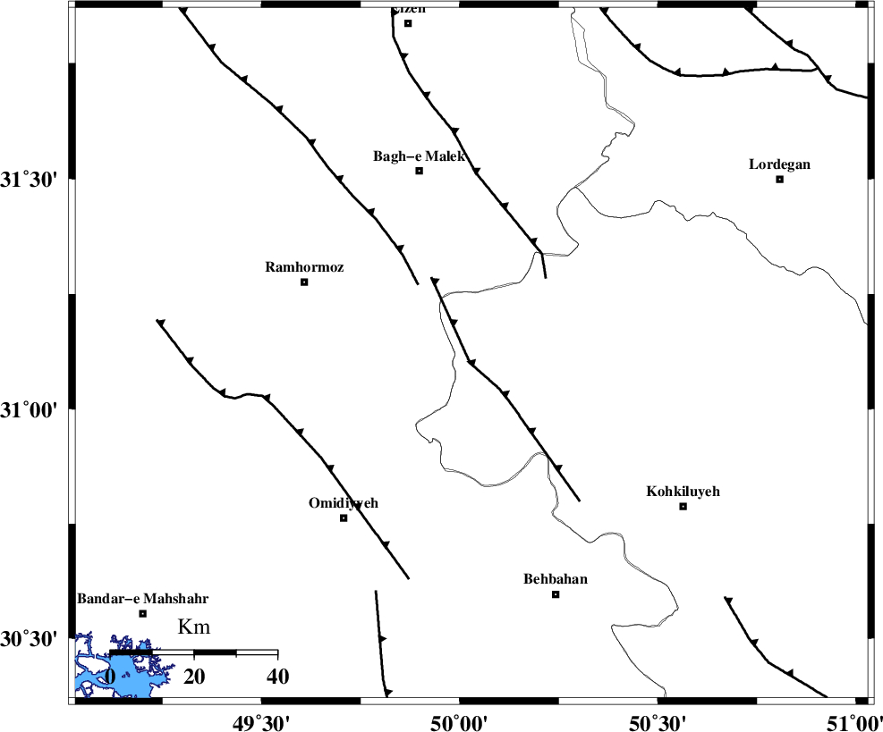
Faults within 150 km: |
|
| MFF4 (Length: 62 km) , Distance to epicenter: 2 km | |
| DEZFUL_EMBAYMENT (Length: 228 km) , Distance to epicenter: 21 km | |
| MFF2 (Length: 205 km) , Distance to epicenter: 26 km | |
| Number of Phases | 7 |
| RMS | 0.2 |
| Number of Stations | 4 |
| Error in Latitude | >7.2 km |
| Error in Longitude | 4.8 km |
| Error in Depth | 8.8 km |
Download waveform in seisan format
to download seisan software Click here
to access information about IIEES stations Click here
Amplitude | ||||||||
| UID | Agency | Station | Component | Amplitude | Period | Arrival Time | Proccessing Time | Signal Clip |
| 78823 | IIEES | SHGR | N | 171.3 | 0.52 | 2011-04-29 01:43:10 | 2011-04-29 01:57:00 | n |
| 78824 | IIEES | SHGR | E | 176.5 | 0.48 | 2011-04-29 01:43:13 | 2011-04-29 01:57:00 | n |
| 78825 | IIEES | KHMZ | N | 16.6 | 0.48 | 2011-04-29 01:43:48 | 2011-04-29 01:57:00 | n |
| 78826 | IIEES | KHMZ | E | 25.3 | 0.6 | 2011-04-29 01:43:49 | 2011-04-29 01:57:00 | n |
Phase | ||||||||||||
| Agency | Station | Component | Phase Type | Phase Quality | First Motion | Observed Arrival Time | Time Residual | Loc. Flag | Input Weight | Distance | Azimuth | |
| IIEES | SHGR | Z | Pn | E | 2011-04-29 01:42:44 | 0 | y | 160 | 314 | |||
| IIEES | SHGR | N | Sg | E | 2011-04-29 01:43:06 | -0.1 | y | 160 | 314 | |||
| IIEES | KHMZ | Z | Pn | E | 2011-04-29 01:43:00 | 0.1 | y | 291 | 359 | |||
| IIEES | KHMZ | E | Sg | E | 2011-04-29 01:43:40 | -0.2 | y | 291 | 359 | |||
| IIEES | NASN | Z | Pn | E | 2011-04-29 01:43:04 | -0.2 | y | 322 | 54 | |||
| IIEES | ASAO | Z | Pn | E | 2011-04-29 01:43:12 | 0.3 | y | 381 | 360 | |||
| IIEES | ASAO | N | Sg | E | 2011-04-29 01:44:04 | 0.2 | y | 381 | 360 | |||