
Magnitude |
2.7 |
| Date & Time (UTC) | 2011-07-23 14:46:20.1 |
| Date & Time (Local) | 1390/5/1 19:16:20.1 |
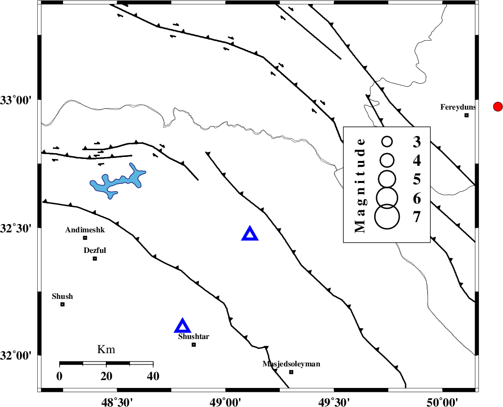
| Location | Lat:32.62 Lon: 49.15 |
| Region | Khoozestan Province, 26 km North of Lali |
Nearest Cities |
|
| 26 km North of Lali, Khoozestan Province | |
| 32 km North East of Sardasht, Khoozestan Province | |
| 37 km South East of Shuy, Khoozestan Province | |
| 39 km North of Jaefarabad, Khoozestan Province | |
| 44 km South West of Parchal, Lorestan Province | |
| Depth | 14 km |
| Agency | |
Faults within 150 km: |
|
| MFF2 (Length: 205 km) , Distance to epicenter: 8 km | |
| BALARUD_F_Z2 (Length: 58 km) , Distance to epicenter: 27 km | |
| HZF4 (Length: 492 km) , Distance to epicenter: 43 km | |
| Number of Phases | 4 |
| RMS | 0 |
| Number of Stations | 4 |
| Error in Latitude | >5.1 km |
| Error in Longitude | 12.6 km |
| Error in Depth | 4 km |
Download waveform in seisan format
to download seisan software Click here
to access information about IIEES stations Click here
Amplitude | ||||||||
| UID | Agency | Station | Component | Amplitude | Period | Arrival Time | Proccessing Time | Signal Clip |
| 79759 | IIEES | SHGR | N | 260.9 | 0.77 | 2011-07-23 14:46:48 | 2011-07-23 03:40:00 | n |
| 79760 | IIEES | SHGR | E | 251.6 | 0.62 | 2011-07-23 14:46:49 | 2011-07-23 03:40:00 | n |
| 79761 | IIEES | KHMZ | E | 77.4 | 0.61 | 2011-07-23 14:47:07 | 2011-07-23 03:40:00 | n |
| 79762 | IIEES | KHMZ | N | 75.6 | 0.45 | 2011-07-23 14:47:09 | 2011-07-23 03:40:00 | n |
| 79763 | IIEES | AHRM | E | 69.2 | 0.48 | 2011-07-23 14:47:06 | 2011-07-23 03:40:00 | n |
Phase | ||||||||||||
| Agency | Station | Component | Phase Type | Phase Quality | First Motion | Observed Arrival Time | Time Residual | Loc. Flag | Input Weight | Distance | Azimuth | |
| IIEES | SHGR | Z | Pg | E | 2011-07-23 14:46:31 | -0.01 | y | 65.1 | 210 | |||
| IIEES | KHMZ | Z | Pg | E | 2011-07-23 14:46:44 | -0.01 | y | 146 | 31 | |||
| IIEES | ASAO | Z | Pn | E | 2011-07-23 14:46:56 | 0.03 | y | 229 | 21 | |||
| IIEES | ASAO | E | Sg | E | 2011-07-23 14:47:25 | -0.01 | y | 229 | 21 | |||