
Magnitude |
3.7 |
| Date & Time (UTC) | 2012-03-10 14:13:30.2 |
| Date & Time (Local) | 1390/12/20 17:43:30.2 |
| Location | Lat:28.03 Lon: 59.13 |
| Region | Sistan va Baloochestan Province, 142 km East of Kahnuj |
Nearest Cities |
|
| 60 km North East of Borj-e abbasabad, Kerman Province | |
| 71 km North West of Kalemursi, Sistan va Baloochestan Province | |
| 75 km South of Hoseynabad, Kerman Province | |
| 80 km South East of Mohammadabad-e gonbaki, Kerman Province | |
| 96 km South East of Void, Kerman Province | |
| Depth | 15 km |
| Agency | |
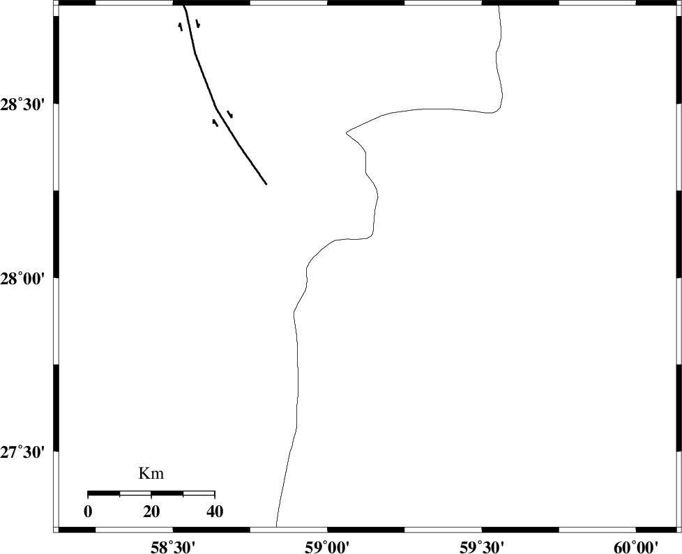
Faults within 150 km: |
|
| BAM_F (Length: 118 km) , Distance to epicenter: 41 km | |
| KASKIN_F (Length: 100 km) , Distance to epicenter: 111 km | |
| KANURAK_F (Length: 135 km) , Distance to epicenter: 113 km | |
| Number of Phases | 4 |
| RMS | 0.1 |
| Number of Stations | 4 |
| Error in Latitude | >2.3 km |
| Error in Longitude | 1.7 km |
| Error in Depth | 0 km |
Download waveform in seisan format
to download seisan software Click here
to access information about IIEES stations Click here
Amplitude | ||||||||
| UID | Agency | Station | Component | Amplitude | Period | Arrival Time | Proccessing Time | Signal Clip |
| 82232 | IIEES | BNDS | E | 292.3 | 0.4 | 2012-03-10 14:14:52 | 2012-03-10 01:38:00 | n |
| 82233 | IIEES | BNDS | N | 264.5 | 0.36 | 2012-03-10 14:14:54 | 2012-03-10 01:38:00 | n |
Phase | ||||||||||||
| Agency | Station | Component | Phase Type | Phase Quality | First Motion | Observed Arrival Time | Time Residual | Loc. Flag | Input Weight | Distance | Azimuth | |
| IIEES | ZHSF | Z | Pn | E | 2012-03-10 14:14:07 | -0.09 | y | 237 | 42 | |||
| IIEES | BNDS | Z | Pn | E | 2012-03-10 14:14:15 | -0.16 | y | 300 | 257 | |||
| IIEES | CHBR | Z | Pn | E | 2012-03-10 14:14:15 | 0.09 | y | 302 | 153 | |||
| IIEES | KRBR | Z | Pn | E | 2012-03-10 14:14:17 | 0.18 | y | 316 | 314 | |||