
Magnitude |
3.1 |
| Date & Time (UTC) | 2012-05-03 11:11:11.9 |
| Date & Time (Local) | 1391/2/14 15:41:11.9 |
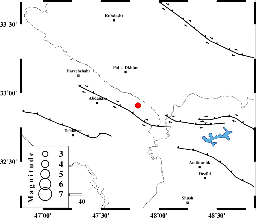
| Location | Lat:32.91 Lon: 47.82 |
| Region | Ilam Province, 29 km South-East of Pol-e dokhtar |
Nearest Cities |
|
| 24 km North East of Sarabbagh, Ilam Province | |
| 24 km South East of Sarab hammam, Lorestan Province | |
| 29 km South East of Pol-e dokhtar, Lorestan Province | |
| 33 km East of Abdanan, Ilam Province | |
| 38 km South of Morani, Lorestan Province | |
| Depth | 14 km |
| Agency | |
Faults within 150 km: |
|
| BALARUD_F_Z1 (Length: 87 km) , Distance to epicenter: 8 km | |
| BALARUD_F_Z3 (Length: 53 km) , Distance to epicenter: 23 km | |
| MFF6 (Length: 144 km) , Distance to epicenter: 33 km | |
| Number of Phases | 6 |
| RMS | 0.1 |
| Number of Stations | 5 |
| Error in Latitude | >2.6 km |
| Error in Longitude | 5.3 km |
| Error in Depth | 3.8 km |
Download waveform in seisan format
to download seisan software Click here
to access information about IIEES stations Click here
Amplitude | ||||||||
| UID | Agency | Station | Component | Amplitude | Period | Arrival Time | Proccessing Time | Signal Clip |
| 83236 | IIEES | SHGR | E | 533.7 | 0.44 | 2012-05-03 11:11:54 | 2012-05-03 11:45:00 | n |
| 83237 | IIEES | SHGR | N | 420.7 | 0.26 | 2012-05-03 11:11:54 | 2012-05-03 11:45:00 | n |
| 83238 | IIEES | SNGE | E | 124.7 | 0.44 | 2012-05-03 11:12:25 | 2012-05-03 11:45:00 | n |
| 83239 | IIEES | SNGE | N | 117 | 0.53 | 2012-05-03 11:12:33 | 2012-05-03 11:45:00 | n |
Phase | ||||||||||||
| Agency | Station | Component | Phase Type | Phase Quality | First Motion | Observed Arrival Time | Time Residual | Loc. Flag | Input Weight | Distance | Azimuth | |
| IIEES | SHGR | Z | Pg | E | 2012-05-03 11:11:33 | -0.1 | y | 128 | 133 | |||
| IIEES | KHMZ | Z | Pn | E | 2012-05-03 11:11:47 | 0.01 | y | 220 | 65 | |||
| IIEES | SNGE | Z | Pn | E | 2012-05-03 11:11:50 | 0.14 | y | 246 | 350 | |||
| IIEES | SNGE | E | Sg | E | 2012-05-03 11:12:21 | -0.12 | y | 246 | 350 | |||
| IIEES | ASAO | Z | Pn | E | 2012-05-03 11:11:53 | -0.04 | y | 274 | 48 | |||
| IIEES | GHVR | Z | Pn | E | 2012-05-03 11:12:04 | 0.13 | y | 363 | 60 | |||