
Magnitude |
2.8 |
| Date & Time (UTC) | 2012-06-24 14:14:11.5 |
| Date & Time (Local) | 1391/4/4 18:44:11.5 |
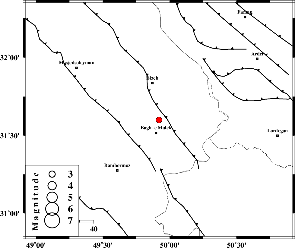
| Location | Lat:31.6 Lon: 49.92 |
| Region | Khoozestan Province, 9 km Bagh Malek |
Nearest Cities |
|
| 5 km of Ghaleh tal, Khoozestan Province | |
| 8 km North of Abolabbas, Khoozestan Province | |
| 9 km North of Bagh Malek, Khoozestan Province | |
| 25 km South East of Chenarestan, Khoozestan Province | |
| 26 km North East of Midavood-e sofla, Khoozestan Province | |
| Depth | 14 km |
| Agency | |
Faults within 150 km: |
|
| MFF2 (Length: 205 km) , Distance to epicenter: 6 km | |
| DEZFUL_EMBAYMENT (Length: 228 km) , Distance to epicenter: 24 km | |
| MFF4 (Length: 62 km) , Distance to epicenter: 35 km | |
| Number of Phases | 6 |
| RMS | 0.1 |
| Number of Stations | 4 |
| Error in Latitude | >3.6 km |
| Error in Longitude | 3.4 km |
| Error in Depth | 6.1 km |
Download waveform in seisan format
to download seisan software Click here
to access information about IIEES stations Click here
Amplitude | ||||||||
| UID | Agency | Station | Component | Amplitude | Period | Arrival Time | Proccessing Time | Signal Clip |
| 84239 | IIEES | SHGR | N | 191.9 | 0.28 | 2012-06-24 14:14:49 | 2012-06-25 02:30:00 | n |
| 84240 | IIEES | SHGR | E | 210 | 0.6 | 2012-06-24 14:14:57 | 2012-06-25 02:30:00 | n |
| 84241 | IIEES | GHVR | N | 24.8 | 0.72 | 2012-06-24 14:15:58 | 2012-06-25 02:30:00 | n |
Phase | ||||||||||||
| Agency | Station | Component | Phase Type | Phase Quality | First Motion | Observed Arrival Time | Time Residual | Loc. Flag | Input Weight | Distance | Azimuth | |
| IIEES | SHGR | Z | Pg | E | 2012-06-24 14:14:31 | -0.01 | y | 120 | 298 | |||
| IIEES | SHGR | E | Sg | E | 2012-06-24 14:14:46 | -0.02 | y | 120 | 298 | |||
| IIEES | KHMZ | Z | P | E | 2012-06-24 14:14:49 | 0.13 | y | 237 | 1 | |||
| IIEES | KHMZ | E | Sg | E | 2012-06-24 14:15:18 | -0.01 | y | 237 | 1 | |||
| IIEES | ASAO | Z | Pn | E | 2012-06-24 14:15:00 | 0.02 | y | 327 | 2 | |||
| IIEES | GHVR | Z | Pn | E | 2012-06-24 14:15:01 | -0.14 | y | 343 | 21 | |||