
Magnitude |
2.3 |
| Date & Time (UTC) | 2013-02-11 22:58:55.6 |
| Date & Time (Local) | 1391/11/24 02:28:55.6 |
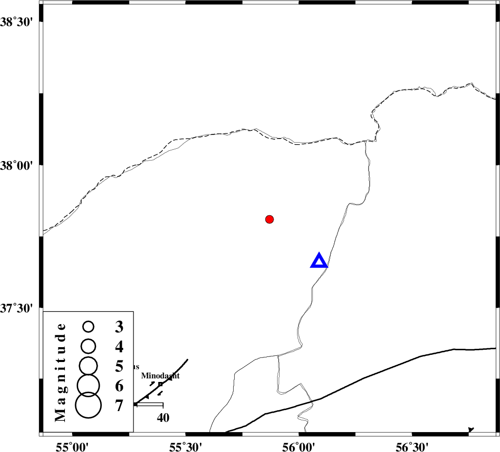
| Location | Lat:37.81 Lon: 55.87 |
| Region | Golestan Province, 58 km North-East of Kalaleh |
Nearest Cities |
|
| 13 km of Moravehtappeh, Golestan Province | |
| 20 km North of Golidagh, Golestan Province | |
| 34 km North East of Qareh aghaj, Golestan Province | |
| 35 km South East of Karand, Golestan Province | |
| 36 km South West of Qazanqayeh, Golestan Province | |
| Depth | 14 km |
| Agency | |
Faults within 150 km: |
|
| ROBATE_QARABIL_F (Length: 168 km) , Distance to epicenter: 72 km | |
| JAJARAM_F (Length: 77 km) , Distance to epicenter: 103 km | |
| ESFARAYEN_F (Length: 111 km) , Distance to epicenter: 109 km | |
| Number of Phases | 5 |
| RMS | 0.2 |
| Number of Stations | 3 |
| Error in Latitude | >5.6 km |
| Error in Longitude | 7.5 km |
| Error in Depth | 7.6 km |
Download waveform in seisan format
to download seisan software Click here
to access information about IIEES stations Click here
Amplitude | ||||||||
| UID | Agency | Station | Component | Amplitude | Period | Arrival Time | Proccessing Time | Signal Clip |
| 87862 | IIEES | MRVT | N | 522.2 | 0.16 | 2013-02-11 22:59:08 | 2013-02-12 01:23:00 | n |
| 87863 | IIEES | BJRD | E | 62.1 | 0.4 | 2013-02-11 22:59:40 | 2013-02-12 01:23:00 | n |
| 87864 | IIEES | BJRD | N | 64.3 | 0.4 | 2013-02-11 22:59:41 | 2013-02-12 01:23:00 | n |
Phase | ||||||||||||
| Agency | Station | Component | Phase Type | Phase Quality | First Motion | Observed Arrival Time | Time Residual | Loc. Flag | Input Weight | Distance | Azimuth | |
| IIEES | MRVT | Z | Pg | E | 2013-02-11 22:59:00 | -0.3 | y | 25.1 | 131 | |||
| IIEES | BJRD | Z | Pg | E | 2013-02-11 22:59:18 | -0.22 | y | 136 | 95 | |||
| IIEES | BJRD | N | Sg | E | 2013-02-11 22:59:35 | 0.27 | y | 136 | 95 | |||
| IIEES | SHRO | Z | Pn | E | 2013-02-11 22:59:28 | 0.29 | y | 200 | 176 | |||
| IIEES | SHRO | N | Sg | E | 2013-02-11 22:59:52 | -0.04 | y | 200 | 176 | |||