
Magnitude |
4.3 |
| Date & Time (UTC) | 2013-02-23 23:12:31.4 |
| Date & Time (Local) | 1391/12/6 02:42:31.4 |
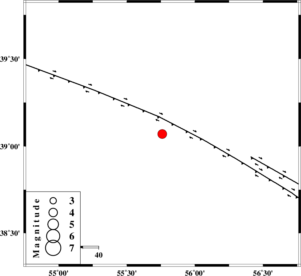
| Location | Lat:39.07 Lon: 55.76 |
| Region | Turkmenistan |
Nearest Cities |
|
| 125 km North East of Karand, Golestan Province | |
| 130 km North West of Yekehsoud-e paeen, Khorasan(north) Province | |
| 131 km North West of Moravehtappeh, Golestan Province | |
| 136 km North West of Qazanqayeh, Golestan Province | |
| 146 km North East of Qareh aghaj, Golestan Province | |
| Depth | 27 km |
| Agency | |
Faults within 150 km: |
|
| MAIN_KOPEHDAGH_F1 (Length: 318 km) , Distance to epicenter: 11 km | |
| MAIN_KOPEHDAGH_F2 (Length: 131 km) , Distance to epicenter: 58 km | |
| Number of Phases | 8 |
| RMS | 0.1 |
| Number of Stations | 8 |
| Error in Latitude | >9 km |
| Error in Longitude | 5 km |
| Error in Depth | 4.4 km |
Download waveform in seisan format
to download seisan software Click here
to access information about IIEES stations Click here
Amplitude | ||||||||
| UID | Agency | Station | Component | Amplitude | Period | Arrival Time | Proccessing Time | Signal Clip |
| 88006 | IIEES | THKV | N | 180 | 0.4 | 2013-02-23 23:14:46 | 2013-02-23 11:50:00 | n |
Phase | ||||||||||||
| Agency | Station | Component | Phase Type | Phase Quality | First Motion | Observed Arrival Time | Time Residual | Loc. Flag | Input Weight | Distance | Azimuth | |
| IIEES | MRVT | Z | Pg | E | 2013-02-23 23:12:57 | 0 | y | 159 | 169 | |||
| IIEES | SHRO | Z | Pn | E | 2013-02-23 23:13:20 | 0.08 | y | 340 | 176 | |||
| IIEES | CHTH | Z | Pn | E | 2013-02-23 23:13:45 | 0.01 | y | 539 | 231 | |||
| IIEES | THKV | Z | Pn | E | 2013-02-23 23:13:47 | 0.06 | y | 555 | 232 | |||
| IIEES | TABS | Z | Pn | E | 2013-02-23 23:13:54 | -0.07 | y | 613 | 168 | |||
| IIEES | ZNJK | Z | Pn | E | 2013-02-23 23:14:02 | -0.05 | y | 676 | 249 | |||
| IIEES | SHRT | Z | Pn | E | 2013-02-23 23:14:08 | 0.01 | y | 726 | 145 | |||
| IIEES | YZKH | Z | Pn | E | 2013-02-23 23:14:10 | -0.15 | y | 748 | 188 | |||