
Magnitude |
3.9 |
| Date & Time (UTC) | 2013-03-04 09:47:53.7 |
| Date & Time (Local) | 1391/12/14 13:17:53.7 |
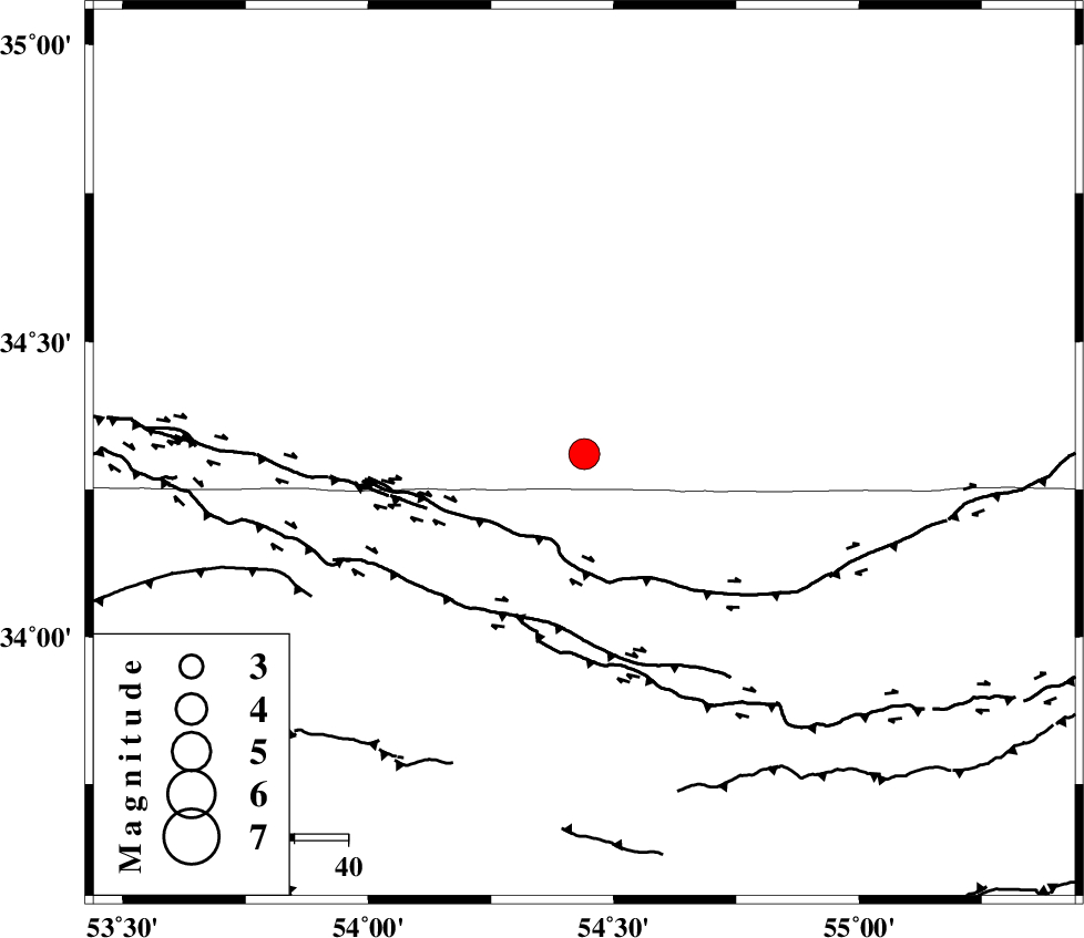
| Location | Lat:34.31 Lon: 54.44 |
| Region | Semnan Province, 206 km South of Damghan |
Nearest Cities |
|
| 30 km North of Jondaq, Esfahan Province | |
| 70 km North West of Farrokhi, Esfahan Province | |
| 77 km North of Chupanan, Esfahan Province | |
| 84 km North West of Khur, Esfahan Province | |
| 112 km North West of Mehranjan, Esfahan Province | |
| Depth | 15 km |
| Agency | |
Faults within 150 km: |
|
| DORUNEH_F (Length: 713 km) , Distance to epicenter: 20 km | |
| BIABANAK_F (Length: 162 km) , Distance to epicenter: 98 km | |
| TORUD_F (Length: 136 km) , Distance to epicenter: 104 km | |
| Number of Phases | 5 |
| RMS | 0 |
| Number of Stations | 4 |
| Error in Latitude | >2.4 km |
| Error in Longitude | 2.4 km |
| Error in Depth | 5.7 km |
Download waveform in seisan format
to download seisan software Click here
to access information about IIEES stations Click here
Amplitude | ||||||||
| UID | Agency | Station | Component | Amplitude | Period | Arrival Time | Proccessing Time | Signal Clip |
| 88089 | IIEES | SHRO | E | 816.5 | 0.32 | 2013-03-04 09:49:02 | 2013-03-04 10:56:00 | n |
| 88090 | IIEES | SHRO | N | 977.6 | 0.48 | 2013-03-04 09:49:04 | 2013-03-04 10:56:00 | n |
| 88091 | IIEES | GHVR | N | 421.8 | 0.44 | 2013-03-04 09:49:21 | 2013-03-04 10:56:00 | n |
Phase | ||||||||||||
| Agency | Station | Component | Phase Type | Phase Quality | First Motion | Observed Arrival Time | Time Residual | Loc. Flag | Input Weight | Distance | Azimuth | |
| IIEES | YZKH | Z | Pg | E | 2013-03-04 09:48:28 | -0.06 | y | 214 | 176 | |||
| IIEES | YZKH | E | Sg | E | 2013-03-04 09:48:54 | 0.06 | y | 214 | 176 | |||
| IIEES | SHRO | Z | Pn | E | 2013-03-04 09:48:30 | 0.04 | y | 236 | 37 | |||
| IIEES | TABS | Z | Pn | E | 2013-03-04 09:48:33 | -0.04 | y | 258 | 106 | |||
| IIEES | TABS | N | Sg | E | 2013-03-04 09:49:06 | 0.01 | y | 258 | 106 | |||