
Magnitude |
2.1 |
| Date & Time (UTC) | 2013-03-09 06:11:20.5 |
| Date & Time (Local) | 1391/12/19 09:41:20.5 |
| Location | Lat:35.74 Lon: 51.99 |
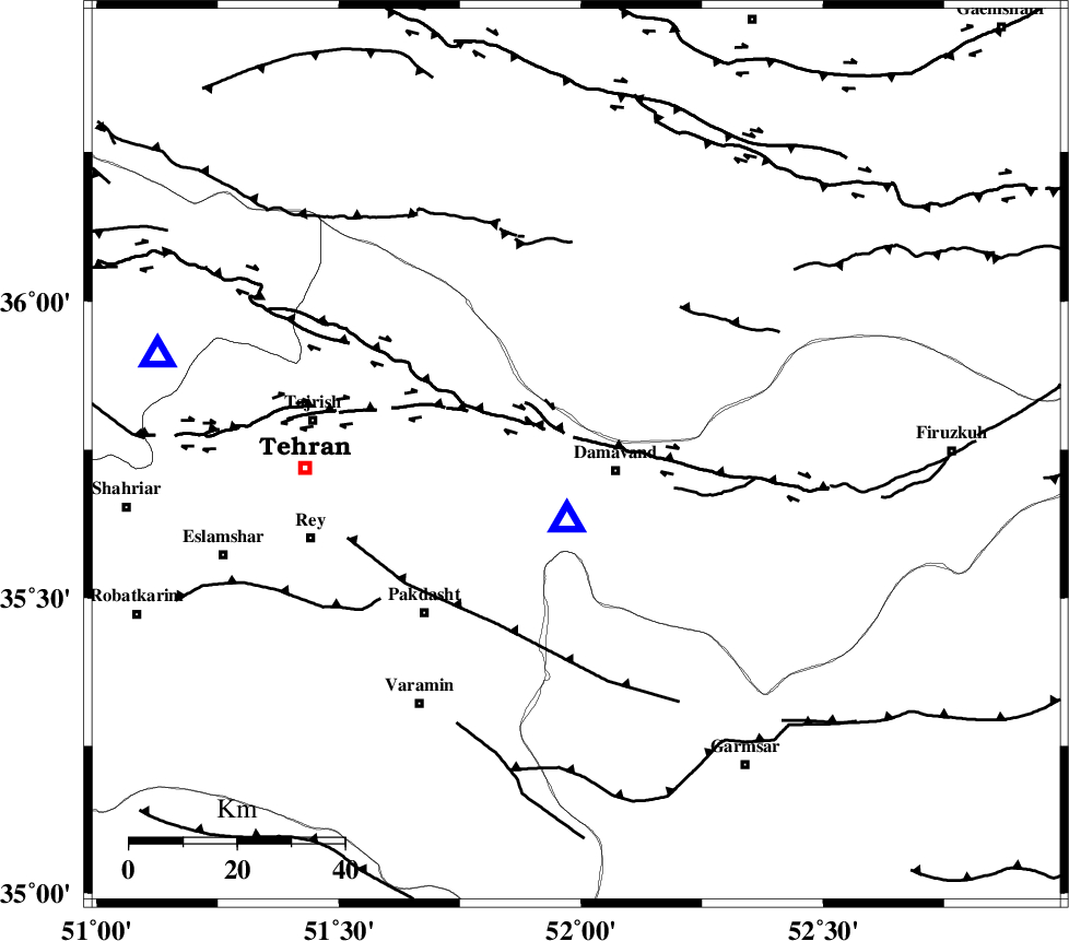
| Region | Tehran Province, 8 km Damavand |
Nearest Cities |
|
| 3 km of Abali, Tehran Province | |
| 8 km North of Damavand, Tehran Province | |
| 10 km North of Ab sard, Tehran Province | |
| 10 km North East of Rudehen, Tehran Province | |
| 11 km East of Bumehen, Tehran Province | |
| Depth | 14 km |
| Agency | |
Faults within 150 km: |
|
| MOSHA_F (Length: 234 km) , Distance to epicenter: 6 km | |
| N_TEHRAN_F4 (Length: 115 km) , Distance to epicenter: 21 km | |
| EYVANEKEY_F (Length: 74 km) , Distance to epicenter: 35 km | |
| Number of Phases | 5 |
| RMS | 0.2 |
| Number of Stations | 4 |
| Error in Latitude | >2.8 km |
| Error in Longitude | 5.9 km |
| Error in Depth | 6.4 km |
Download waveform in seisan format
to download seisan software Click here
to access information about IIEES stations Click here
Amplitude | ||||||||
| UID | Agency | Station | Component | Amplitude | Period | Arrival Time | Proccessing Time | Signal Clip |
| 88149 | IIEES | GHVR | N | 26.5 | 0.36 | 2013-03-09 06:12:15 | 2013-03-09 06:29:00 | n |
| 88150 | IIEES | GHVR | E | 28.1 | 0.3 | 2013-03-09 06:12:15 | 2013-03-09 06:29:00 | n |
Phase | ||||||||||||
| Agency | Station | Component | Phase Type | Phase Quality | First Motion | Observed Arrival Time | Time Residual | Loc. Flag | Input Weight | Distance | Azimuth | |
| IIEES | CHTH | Z | Pg | E | 2013-03-09 06:11:34 | 0.14 | y | 79.9 | 284 | |||
| IIEES | THKV | Z | Pg | E | 2013-03-09 06:11:37 | -0.24 | y | 102 | 281 | |||
| IIEES | GHVR | Z | Pg | E | 2013-03-09 06:11:46 | -0.14 | y | 155 | 206 | |||
| IIEES | ASAO | Z | Pn | E | 2013-03-09 06:11:56 | 0.22 | y | 222 | 234 | |||
| IIEES | ASAO | E | Sg | E | 2013-03-09 06:12:23 | 0.01 | y | 222 | 234 | |||