
Magnitude |
3.4 |
| Date & Time (UTC) | 2013-04-09 23:43:06.2 |
| Date & Time (Local) | 1392/1/21 04:13:06.2 |
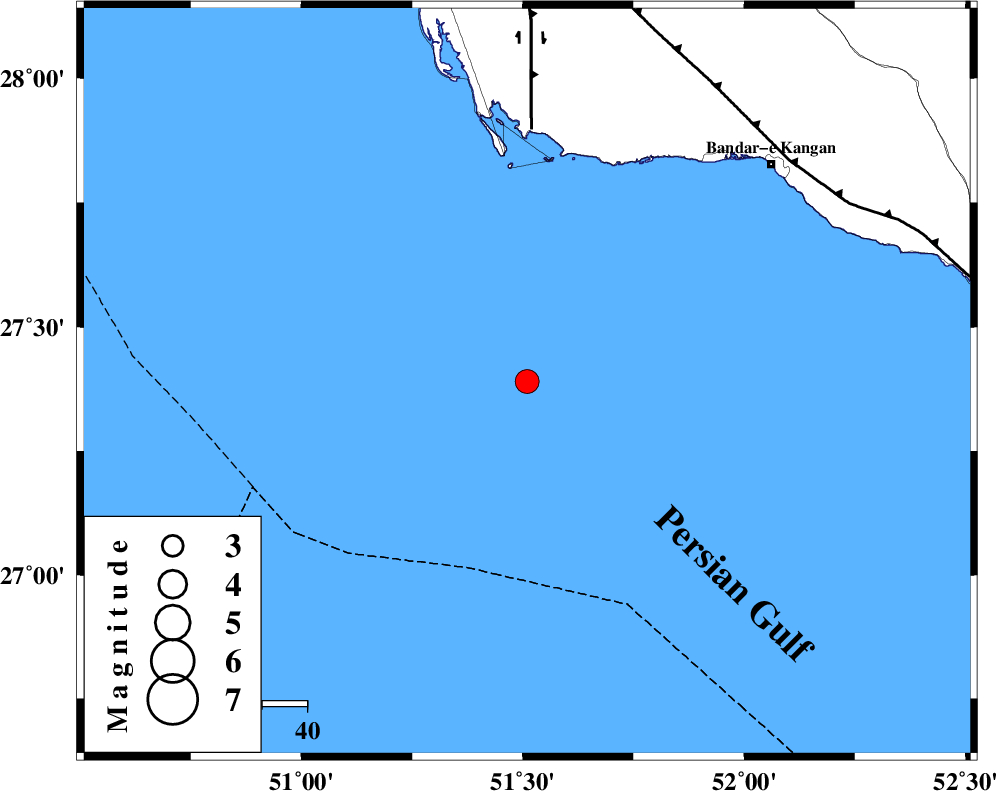
| Location | Lat:27.39 Lon: 51.51 |
| Region | Persian Gulf, 72 km South-West of Bandar-e kangan |
Nearest Cities |
|
| 73 km South West of Bandar-e kangan, Bushehr Province | |
| 74 km South of Bardkhun, Bushehr Province | |
| 80 km South West of Abdan, Bushehr Province | |
| 86 km South of Abkesh, Bushehr Province | |
| 87 km South West of Bandar-e taheri, Bushehr Province | |
| Depth | 25 km |
| Agency | |
Faults within 150 km: |
|
| BORAZJAN_F (Length: 168 km) , Distance to epicenter: 56 km | |
| MFF3 (Length: 292 km) , Distance to epicenter: 77 km | |
| ZFF2 (Length: 84 km) , Distance to epicenter: 86 km | |
| Number of Phases | 5 |
| RMS | 0 |
| Number of Stations | 3 |
| Error in Latitude | >4.9 km |
| Error in Longitude | 5.4 km |
| Error in Depth | 5.8 km |
Download waveform in seisan format
to download seisan software Click here
to access information about IIEES stations Click here
Amplitude | ||||||||
| UID | Agency | Station | Component | Amplitude | Period | Arrival Time | Proccessing Time | Signal Clip |
| 88873 | IIEES | GHIR | E | 231.1 | 0.24 | 2013-04-09 23:43:58 | 2013-04-21 06:59:00 | n |
Phase | ||||||||||||
| Agency | Station | Component | Phase Type | Phase Quality | First Motion | Observed Arrival Time | Time Residual | Loc. Flag | Input Weight | Distance | Azimuth | |
| IIEES | GHIR | Z | Pg | E | 2013-04-09 23:43:34 | y | 176 | 55 | ||||
| IIEES | KRBR | Z | Pn | E | 2013-04-09 23:44:24 | y | 588 | 60 | ||||
| IIEES | GHIR | E | Sg | E | 2013-04-09 23:43:51 | y | ||||||
| IIEES | AHRM | E | Sg | E | 2013-04-09 23:43:30 | y | ||||||
| IIEES | AHRM | Z | Pg | E | 2013-04-09 23:43:22 | y | 165 | 353 | ||||